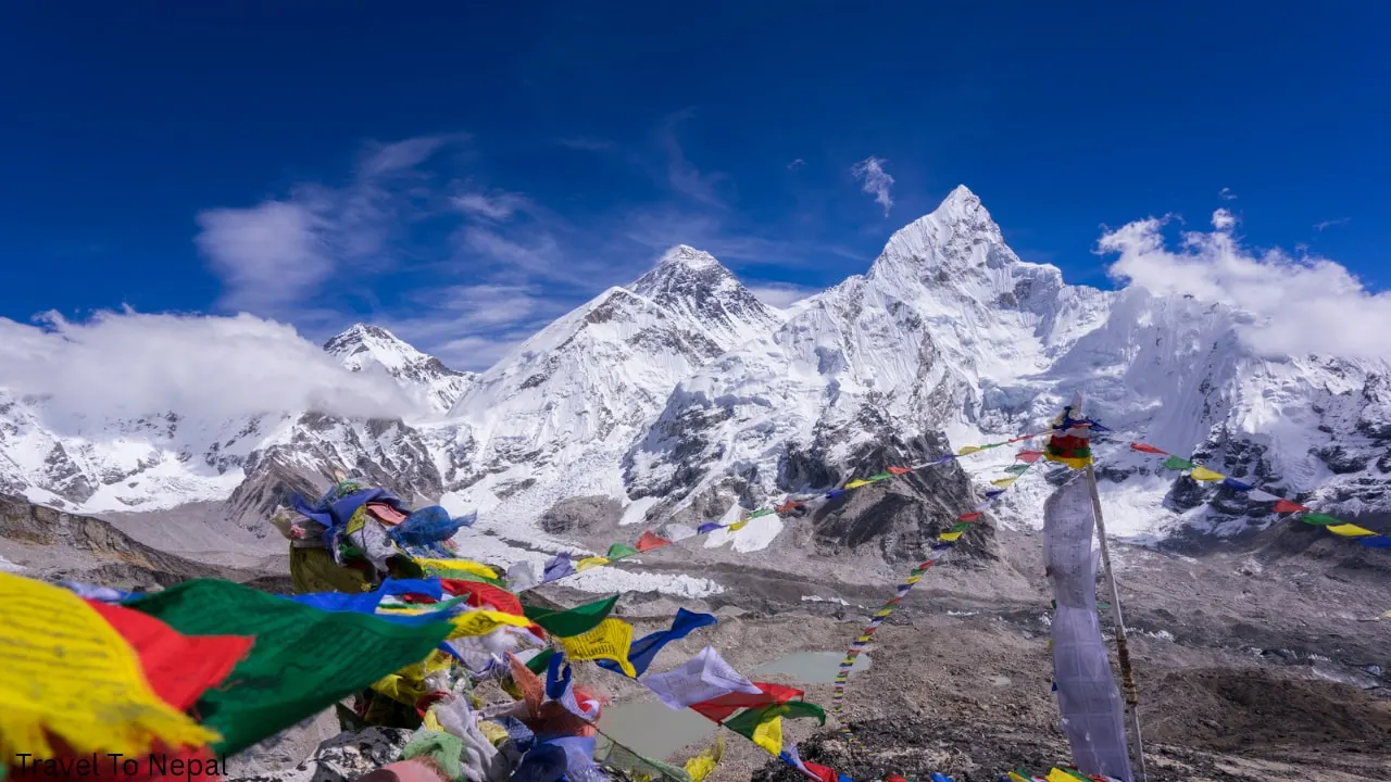
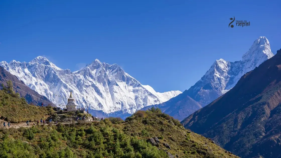
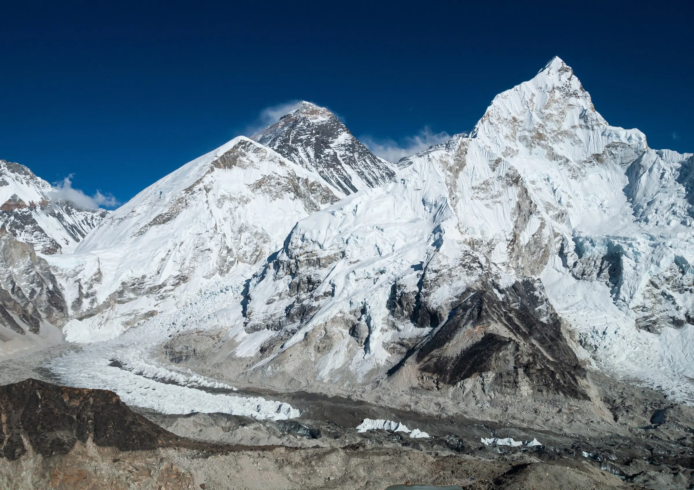
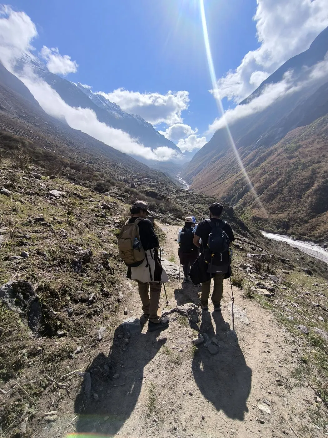
The Everest region is the high valley land around Mount Everest (8,848.86 m) in Solukhumbu district, north-east Nepal. Its upper part, called Khumbu, is the homeland of the Sherpa people. Lower down lie Pharak, around Lukla, and the greener Solu hills. Everest itself stands on the border with Tibet at the head of the Khumbu valley.
Sagarmatha National Park
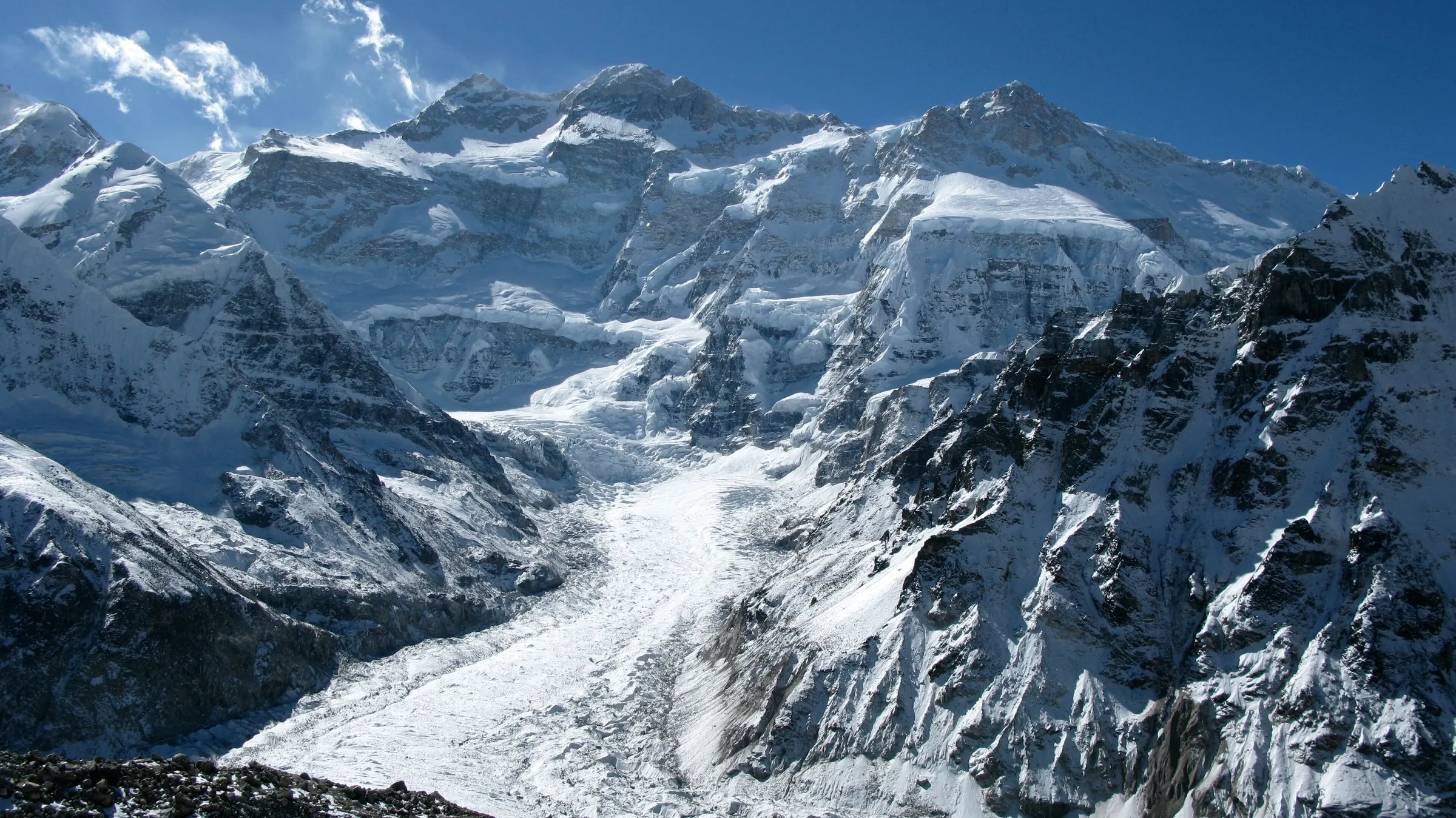
Most of Khumbu is protected by Sagarmatha National Park. Nepal created the park in 1976, and UNESCO listed it as a World Heritage Site in 1979. It covers 1,148 km², and a 275 km² buffer zone around it was added in 2002, where most villages sit. The park includes Everest, Lhotse, Cho Oyu and more than 25 other peaks over 6,000 m.
Khumbu Pasang Lhamu Rural Municipality & Villages
Local government is Khumbu Pasang Lhamu Rural Municipality, formed in 2017 from Namche, Khumjung, Chaurikharka and part of Jubing. It has five wards and covers about 1,540 km², with its office in Chaurikharka near Lukla. The municipality collects its own entry fee at Lukla and runs local rules.
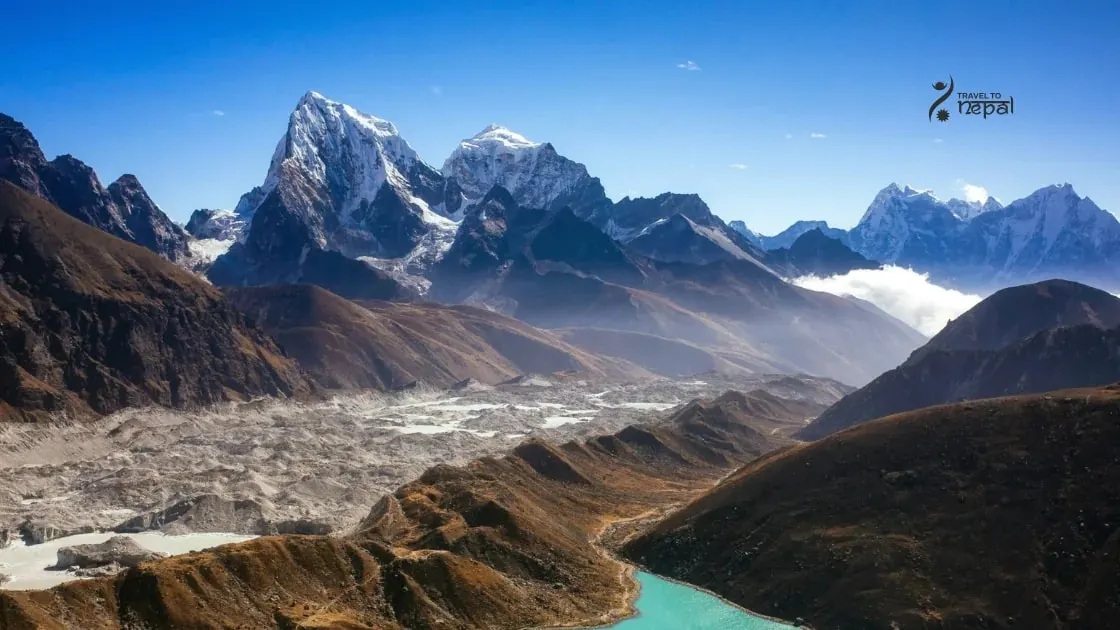
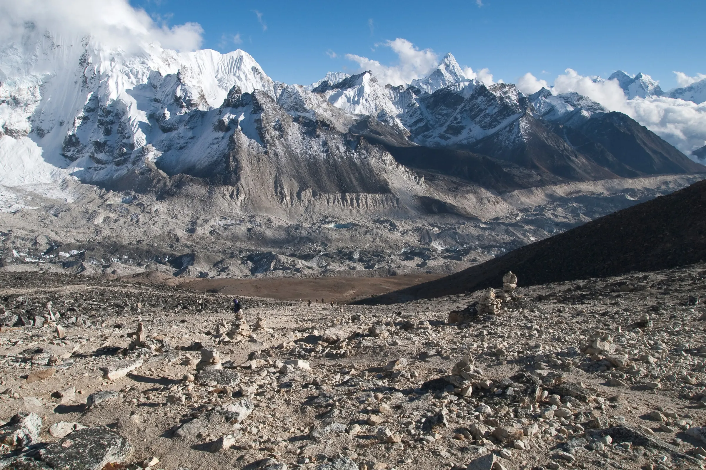
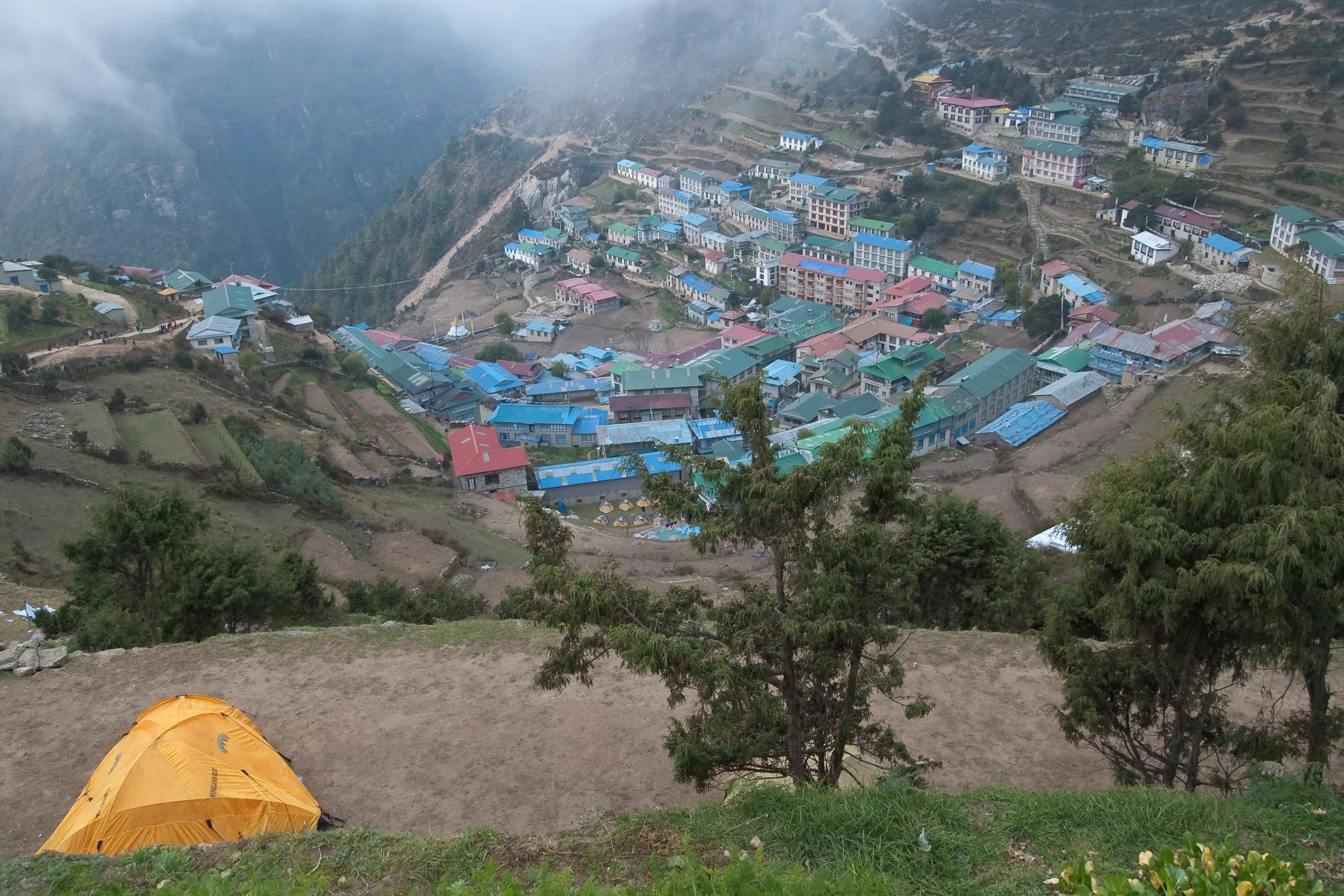
Three river valleys shape the region. The Dudh Koshi runs up from Lukla to Namche Bazaar (3,440 m), the main town. Above Namche the land splits. The Imja and Khumbu valleys lead east past Tengboche and Dingboche to Everest Base Camp. The Gokyo valley leads north along the Ngozumpa Glacier, one of the longest in Nepal, to the Gokyo lakes. The Bhote Koshi valley runs west to Thame and Renjo La.
Gokyo Lakes Ramsar Site & Climate Zone of Khumbu
The Gokyo lakes are a protected wetland of their own. Nineteen glacier-fed lakes lie between about 4,700 and 5,000 m, and in 2007 they were listed as a Ramsar wetland of international importance. Hindus and Buddhists both treat them as sacred. Gokyo Ri (5,357 m) above the village looks out on four 8,000 m peaks: Everest, Lhotse, Makalu and Cho Oyu.
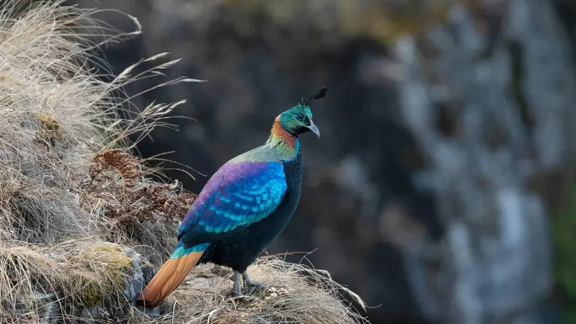
The land rises through five climate zones in a few days' walk. Pine, fir and rhododendron forest covers the lower valleys, then juniper and birch, then alpine grass, moraine and ice. Musk deer, Himalayan tahr, red panda and snow leopard live in the park, and the Danphe (Himalayan monal), Nepal's national bird, is often seen near Tengboche.
Sherpa Culture and Monasteries
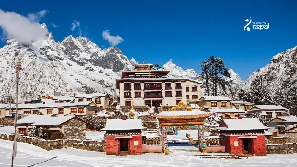
Sherpa Buddhist culture runs through daily life. Tengboche Monastery is the largest in Khumbu, Pangboche is the oldest, and Khumjung has a school founded by Edmund Hillary. Mani walls, chortens and prayer flags line every path. About 7,700 people live in the buffer-zone villages, and most families now work in tourism, yak herding or mountaineering.
Treks and Lukla Access
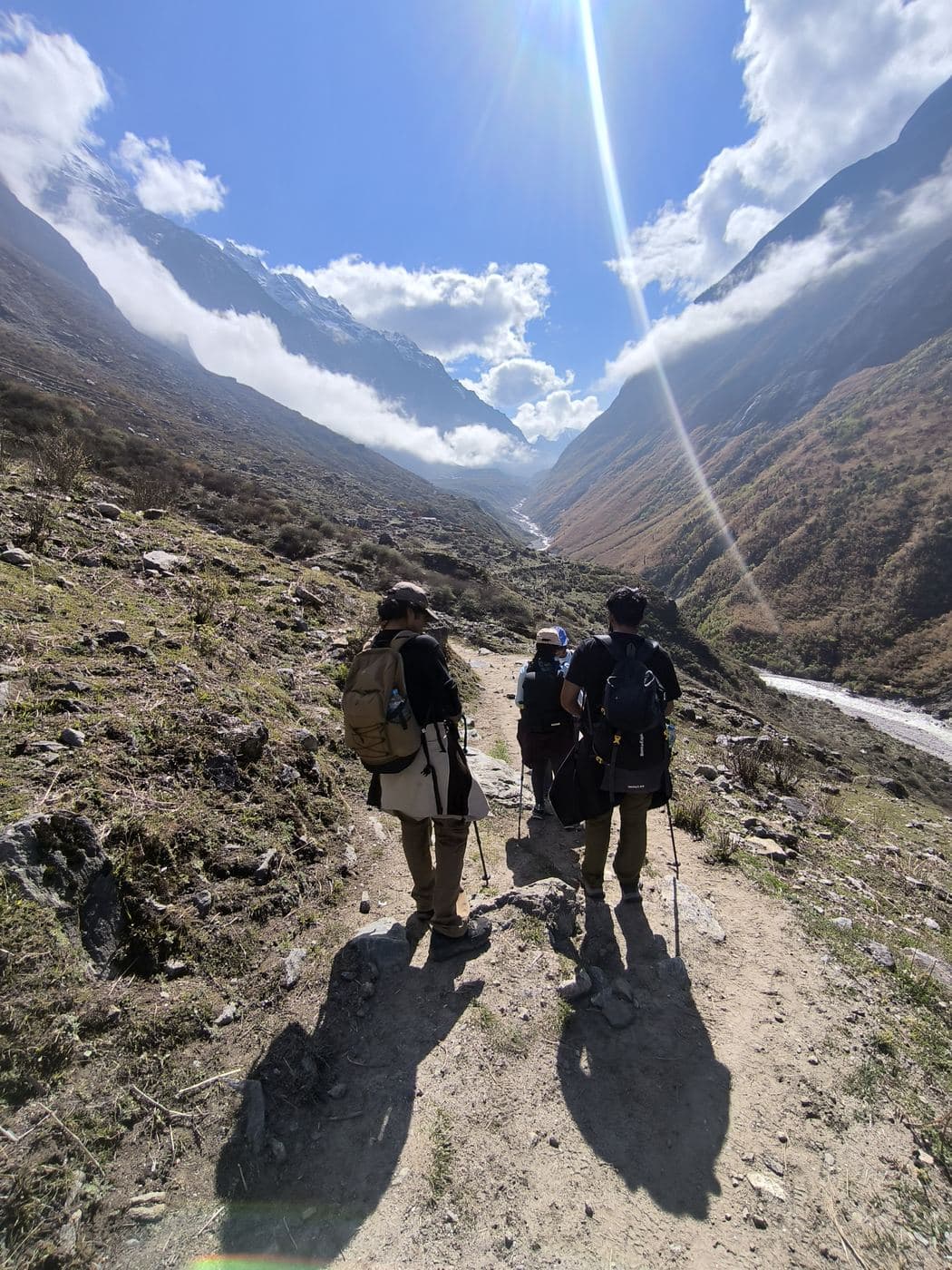
Visitors explore the region on foot. Teahouses fill every valley, so you never need a tent. Classic routes include Everest Base Camp (12 days), the Gokyo valley (about 9 to 16 days), the Three Passes (19 days), the Jiri approach (18 days) and Pikey Peak in Solu (6 days).
Access is mostly by air. Lukla's airport (2,860 m) is the gateway, and in peak seasons flights leave from Ramechhap, a 4-6 hour drive from Kathmandu. Cloud often delays flights, so plan a spare day.
The Everest region suits travellers who want to see the world's highest mountains up close while living among Sherpa villages. Choose Khumbu for the base camp, Gokyo for lakes and quieter trails, or Solu for lower altitude.
Best for:
Views of 8,000 m peaks
Sherpa culture
Glaciers and high lakes
Four 8,000 m peaks
Everest, Lhotse, Makalu and Cho Oyu are all visible from Gokyo Ri on a clear morning.
Sherpa homeland
Namche, Khumjung, Tengboche and Pangboche show daily Sherpa Buddhist life and old monasteries.
Three linked valleys
Khumbu, Gokyo and Thame valleys connect through high passes, so routes can be mixed.
Lodges in every valley
No camping needed; Namche has ATMs, bakeries, gear shops and paid Wi-Fi.
Treks
Trek in Everest Region
Bucket-list trek
Our signature Everest trek
Everest Base Camp Trek
14 days
Challenging
Max 5,545 m
Private group
From Lukla through Namche Bazaar and Tengboche to Everest Base Camp (5,364 m) and a sunrise on Kala Patthar. Acclimatisation days and a Sherpa guide.
March to May is the second peak season. Days are mild below Namche, rhododendrons bloom in the lower forest, and haze builds by May. April is busy, and afternoon cloud is common.
Not ideal
Monsoon · Jun–Aug
June to early September brings rain, cloud and muddy trails below Namche. Views are rare, Lukla flights are often cancelled, and leeches appear in the lower forest.
Best
Autumn · Sep–Nov
Late September to November is the best time. Skies are clear and stable after the monsoon, but nights get colder in November. October is the busiest month, so book lodges and flights early.
Possible
Winter · Dec–Feb
December to February is cold, dry and mostly clear, with short days. January nights at Gorak Shep average about -18°C, and snow can close the high passes. You can still do the EBC & Pikey Peak trek, though it is physically demanding and sub-freezing.
Altitude limits, helicopter rescue and flight delays: the questions to ask before you buy.
Read the guide
Questions
Everest Region questions, answered
Where is the Everest region?
The Everest region is in Solukhumbu district in north-east Nepal, on the border with Tibet. It runs from the Solu hills in the south up through Pharak around Lukla to Khumbu below Everest. Most visitors mean Khumbu when they say "the Everest region".
What is the difference between Khumbu and Solukhumbu?
Khumbu is the high, northern part of Solukhumbu district, around Namche, Gokyo and Everest. Solu is the lower, greener southern part, around Phaplu and Salleri. Pharak, around Lukla and Phakding, lies between them.
What is Sagarmatha National Park?
Sagarmatha National Park is the protected area that covers most of Khumbu. It was created in 1976, listed by UNESCO in 1979 and covers 1,148 km², with a 275 km² buffer zone added in 2002. "Sagarmatha" is the Nepali name for Everest.
What is Khumbu Pasanglhamu Rural Municipality?
It is the local government for Khumbu and Pharak, formed in 2017. It has five wards, covers about 1,540 km² and has its office in Chaurikharka near Lukla. It is named after Pasang Lhamu Sherpa, the first Nepali woman to climb Everest, and it collects a visitor fee at Lukla.
What permits do I need to enter the Everest region?
You need the Sagarmatha National Park entry permit (NPR 3,000) and the Khumbu Pasanglhamu Rural Municipality fee (NPR 3,000). SAARC nationals pay NPR 1,500 and NPR 2,000. The municipality fee is paid in cash at Lukla, and no TIMS card is needed. These are 2026 fees.
Do I need a guide in the Everest region?
No, a guide is not legally required in Khumbu. The municipality did not adopt the national 2023 rule that requires a licensed guide in most other trekking areas. A guide is still wise for the high passes and the Gokyo side valleys, where trails are hard to follow in snow.
What is the Gokyo valley?
The Gokyo valley is the western branch of Khumbu, running north along the Ngozumpa Glacier toward Cho Oyu. It holds 19 glacier-fed lakes, listed as a Ramsar wetland in 2007. It is quieter than the Everest Base Camp valley, and Gokyo Ri (5,357 m) gives one of the widest views in the region.
Who are the Sherpa people?
The Sherpa are a Tibetan Buddhist people whose ancestors moved into Khumbu from Tibet several centuries ago. They farm potatoes, herd yaks and trade, and many now work as mountain guides and lodge owners. Their monasteries, festivals and mani walls shape the whole region.
What wildlife lives in Sagarmatha National Park?
The park is home to musk deer, Himalayan tahr, red panda and snow leopard. You are most likely to see tahr on the slopes near Namche and the Danphe (Himalayan monal) near Tengboche. Snow leopards live here but are rarely seen.
What are the main villages in the Everest region?
Namche Bazaar (3,440 m) is the main town and market. Khumjung and Khunde sit just above it, Tengboche has the region's biggest monastery, and Dingboche and Gokyo are the main high villages. Lukla is the airport town at the entrance.
How do I get to the Everest region?
Most visitors fly to Lukla. Off-peak, flights leave Kathmandu and take about 35 minutes. In the busy seasons they leave from Ramechhap, a 4-6 hour drive from Kathmandu, and take about 20 minutes. You can also drive to Jiri or to the Solu hills and walk in.
When is the best time to visit the Everest region?
October and November are the best months, with clear skies after the monsoon. March to May is the second choice, with warmer days and rhododendrons lower down. June to August is wet and cloudy, and winter is clear but very cold higher up.
What can I do in the Everest region besides Everest Base Camp?
You can visit the Gokyo lakes, cross the Three Passes, explore Thame and the Bhote Koshi valley, or stay lower in Solu on the Pikey Peak trail. Many visitors also spend time in Namche, Khumjung and Tengboche for the culture. Climbers use the region for peaks such as Island Peak and Lobuche East.
Are there ATMs and internet in the Everest region?
Yes, but only in a few places. Lukla and Namche have ATMs, and Namche is the last one, so carry enough cash. Paid Everest Link Wi-Fi works in most lodges above Namche, but it is weak at Gorak Shep and in the high Gokyo valley.
How is the Everest region different from Annapurna?
The Everest region is higher, colder and reached mainly by air. Most of Khumbu lies above 3,400 m, while Annapurna has more roads and lower starting points near Pokhara. Everest also needs no TIMS card or guide, while Annapurna officially requires both.