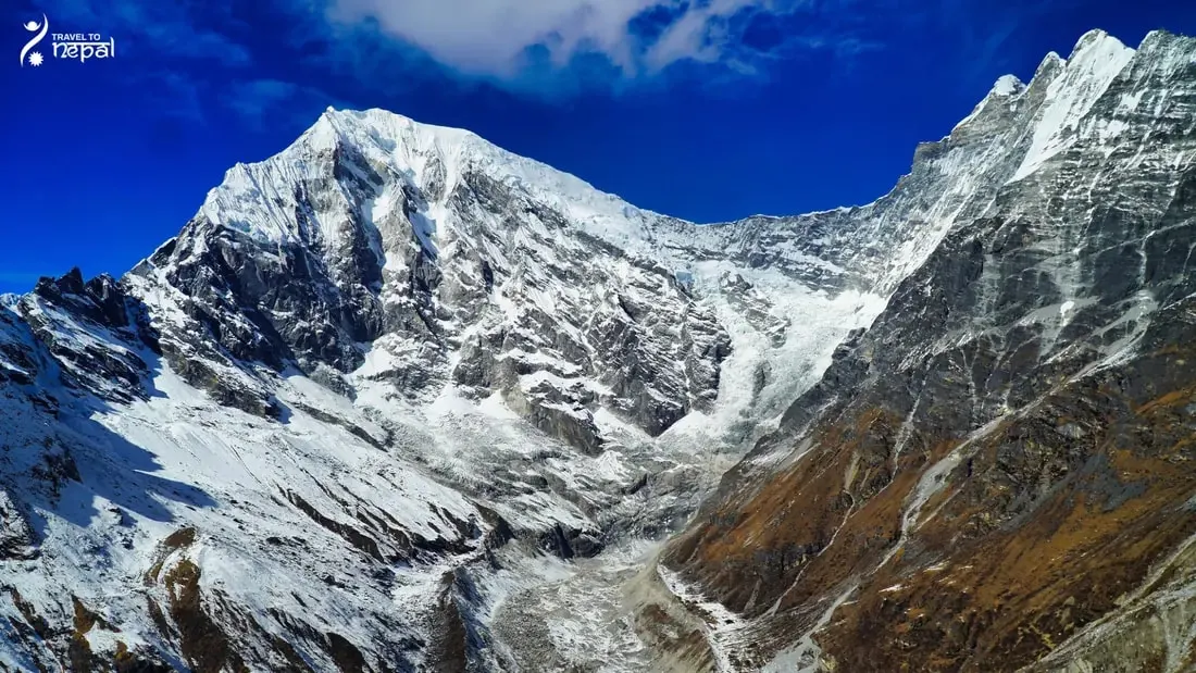
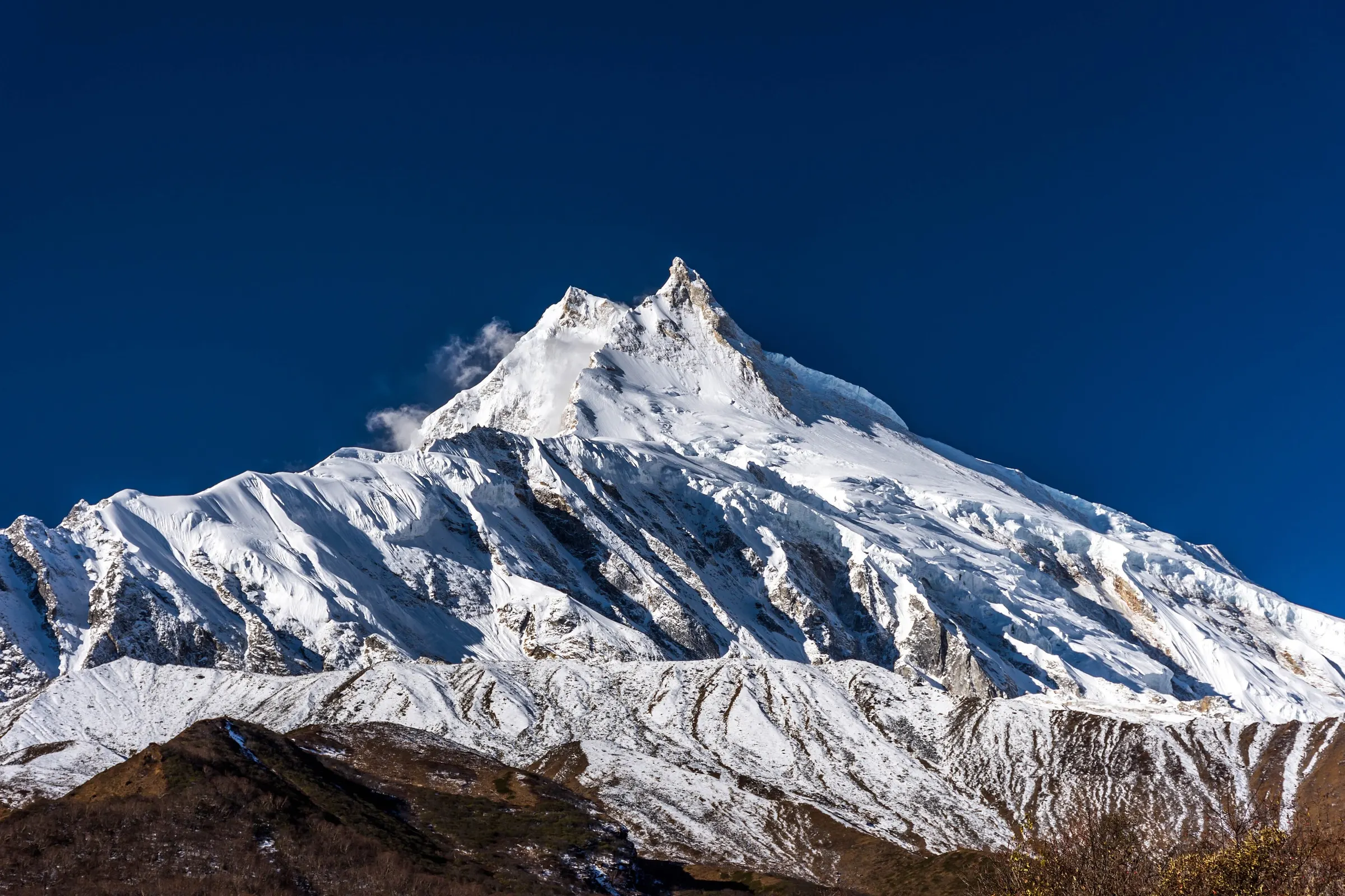
The Langtang region is the mountain area directly north of Kathmandu, between the Ganesh Himal to the west, the Jugal Himal to the east and Tibet to the north. Its highest peak is Langtang Lirung (7,227 m). It is the closest big mountain region to the capital, so you reach every part of it by road in one day.
Langtang National Park
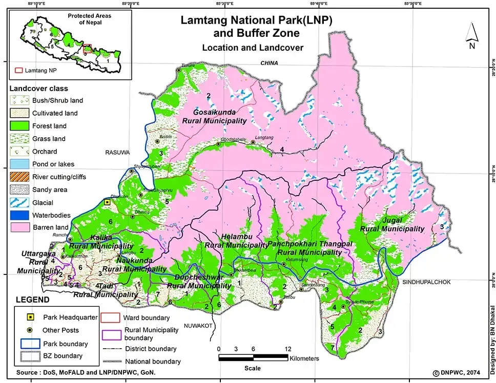
Most of the region lies inside Langtang National Park. Created in 1976, it was Nepal's first national park in the Himalaya. It covers 1,710 km² across Rasuwa, Nuwakot and Sindhupalchok districts, and a 420 km² buffer zone, where most villages sit, was added in 1998.
Image: Meadows of Langtang National park
The park climbs from sal and pine forest in the south to oak, fir, larch and birch, then juniper scrub and alpine meadow above 4,000 m. It records more than 250 bird species. Red panda, Himalayan black bear, musk deer, Himalayan tahr and snow leopard live here, and the Nepalese larch grows in few other places.
Langtang Valley and Kyanjin Gompa
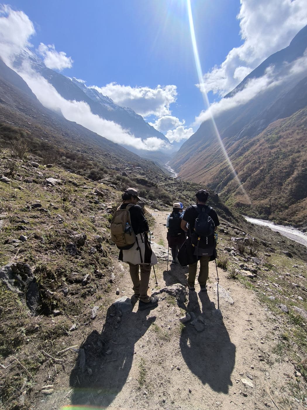
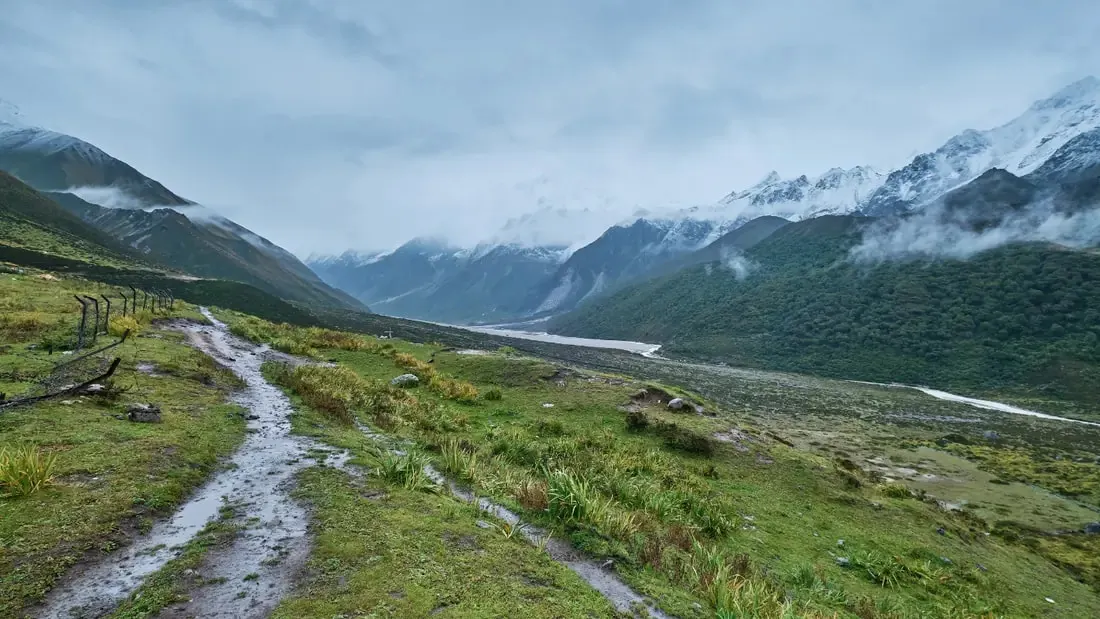
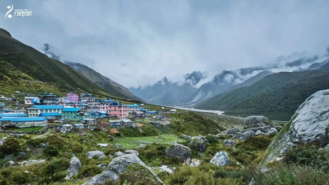
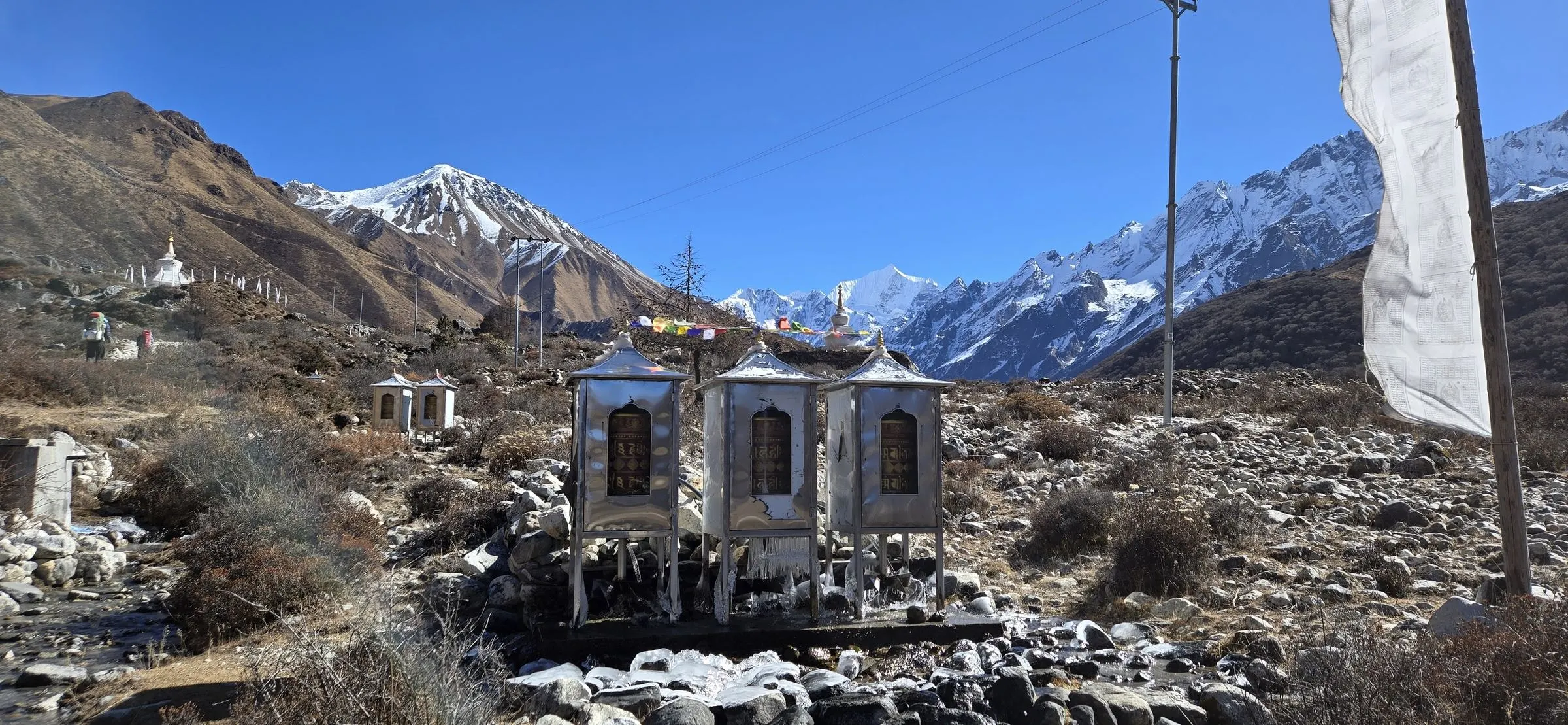
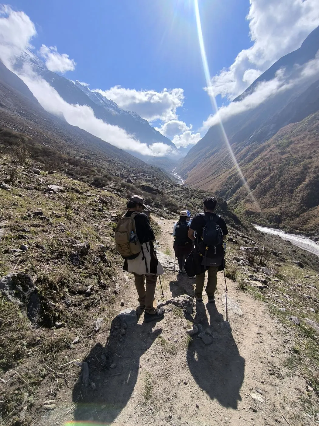
The Langtang Valley is the heart of the region. The Langtang Khola climbs east from Thulosyabru through forest to Langtang village (about 3,430 m) and on to Kyanjin Gompa (3,870 m), a monastery village under Langtang Lirung with a yak-cheese factory. Kyanjin Ri (4,773 m) and Tserko Ri (4,984 m) above it look over the glaciers. Langtang village was buried by an avalanche in the 2015 earthquake and has been rebuilt nearby.
Image: Kyanjin Gompa after rainfall
Gosaikunda Lakes
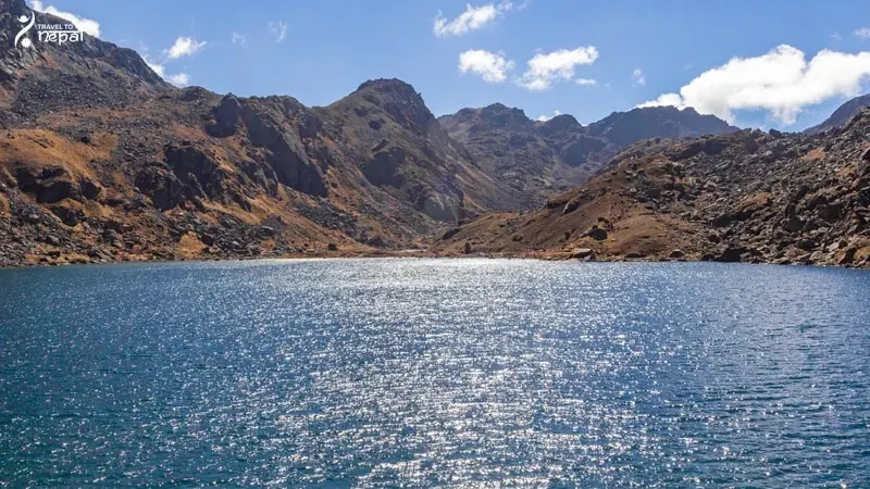
Gosaikunda lies on a high ridge south-west of the valley at 4,380 m. It is the main lake in a group listed as a Ramsar wetland in 2007, and it feeds the Trishuli River. Hindus believe Shiva made the lake with his trident, and thousands of pilgrims climb here for Janai Purnima each August. Lauribina La (4,610 m) above it leads south into Helambu.
Image: Gosaikunda lake
Helambu and the Hyolmo People
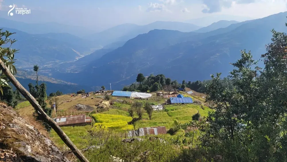
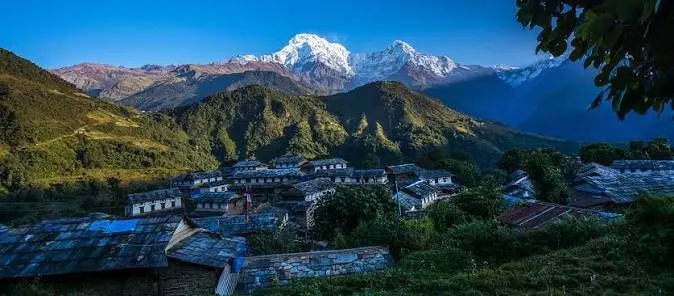
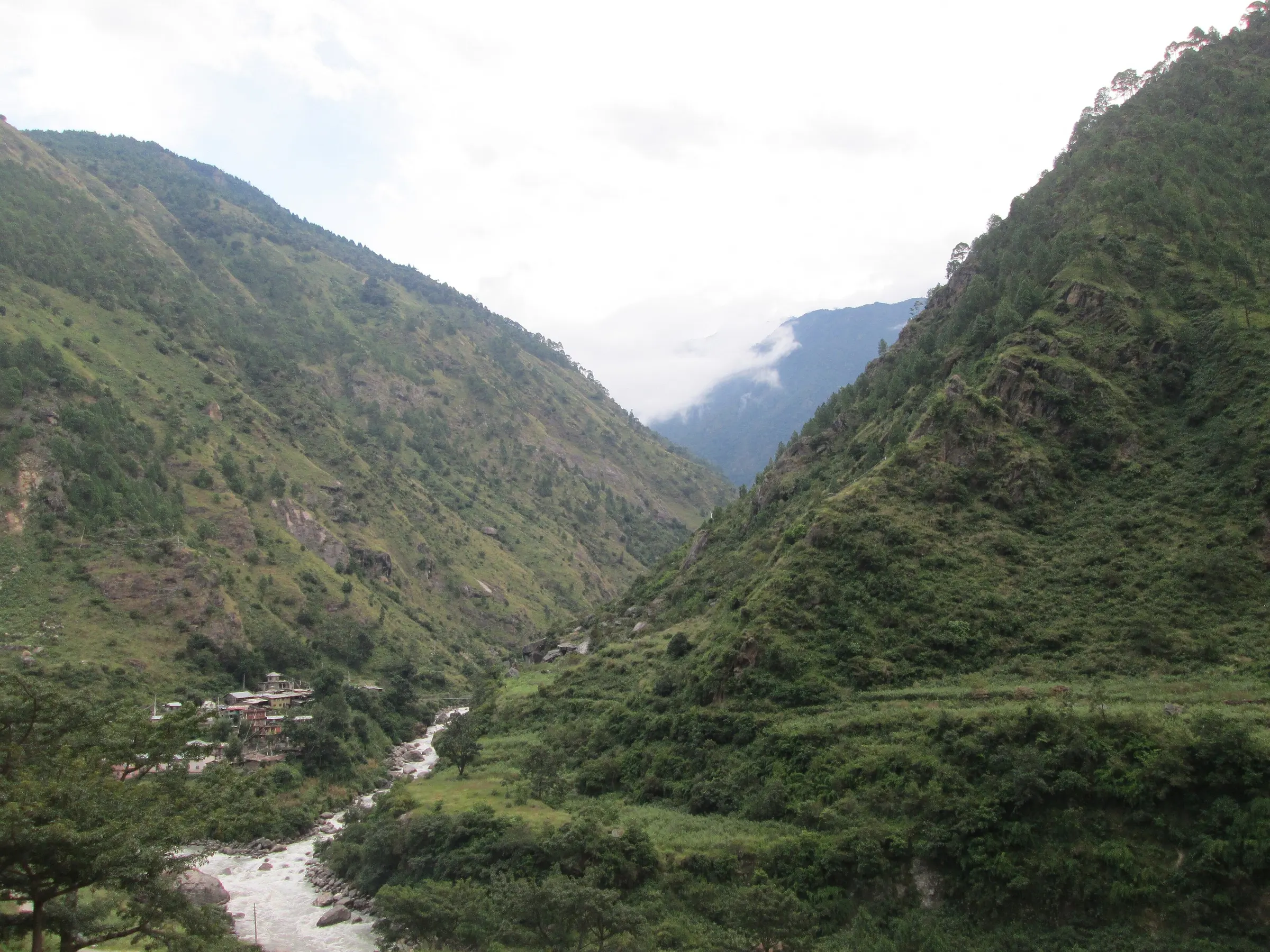
Helambu is the lower, greener south of the region, along the Melamchi and Yangri valleys. It is home to the Hyolmo people, with monasteries and apple orchards in villages such as Tarkeghyang, Sermathang and Melamchi Ghyang. Its southern edge touches Shivapuri Nagarjun National Park at Sundarijal, about an hour from Kathmandu.
Image: Helambu terrace fields and village
Tamang Heritage Villages below Ganesh Himal
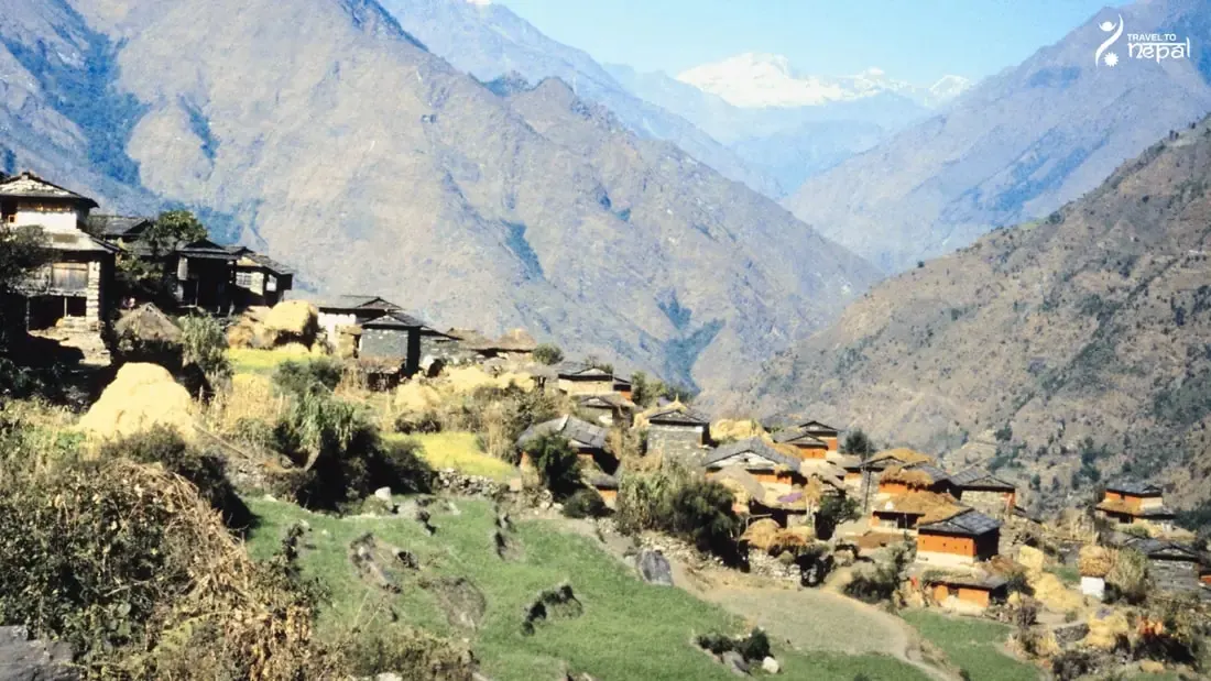
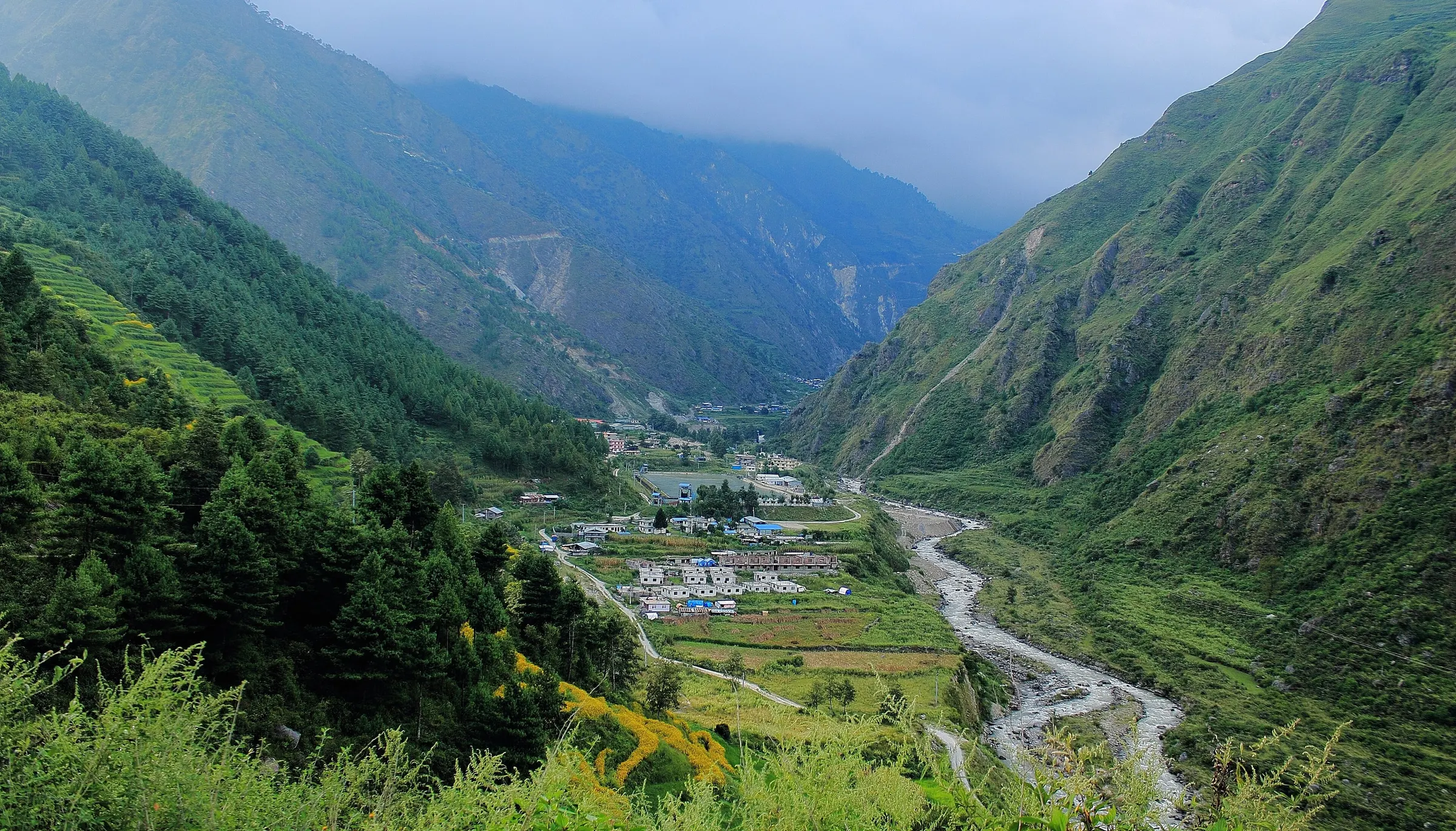
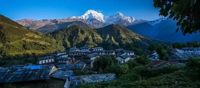
The Tamang Heritage area lies west of the Langtang Valley, around Syabrubesi on the eastern slopes of Ganesh Himal. Stone villages such as Gatlang, Thuman and Briddim keep Tamang dress, songs and Buddhist rites, Tatopani has hot springs, and Nagthali (3,165 m) faces Langtang Lirung. Community homestays are the usual place to stay.
Image: Gatlang Village, Tamang Heritage Trail
Panch Pokhari and the Jugal Himal
Panch Pokhari, on the eastern edge of the region in Sindhupalchok, is a group of five holy lakes at about 4,100 m below the Jugal Himal. It sees more domestic visitors, and lodges are scarce.
Treks and Access
Teahouses cover most of the region. Treks run from about 5 days in Helambu to 8 days in the Langtang Valley and 17 days for Langtang, Gosaikunda and Helambu together. The 26 August 2026 flood badly damaged Syabrubesi and Timure, so Langtang Valley treks now start at Thulosyabru, about 7 hours from Kathmandu by private 4WD. The Tamang Heritage trail reopened over a temporary bridge in late October 2026.
The Langtang region suits travellers with limited time who want glaciers, holy lakes and village life without a mountain flight. Choose the valley for mountains, Gosaikunda for pilgrimage lakes, and Helambu or the Tamang villages for culture at lower altitude.
Image: Langtang National Park map
Best for:
Close to Kathmandu
First Himalayan trek
Tamang and Hyolmo village culture
No flight needed
Every part of the region is a one-day drive from Kathmandu, so no weather-delayed mountain flights.
Langtang Lirung up close
Kyanjin Gompa sits under Langtang Lirung (7,227 m); Tserko Ri (4,984 m) shows the whole Langtang range.
Tamang and Hyolmo villages
Tamang homestays below Ganesh Himal, Hyolmo monasteries in Helambu and yak herders in the Langtang Valley.
Five areas, one region
Mix the valley, Gosaikunda, Helambu, Tamang villages or Panch Pokhari into trips of 5 to 17 days.
Treks
Trek in Langtang Region
Best value
Our signature Langtang trek
Langtang Valley Trek
10 days
Moderate
Max 4,773 m
Private group
From the river gorge at Syabrubesi to Kyanjin Gompa and a sunrise on Kyanjin Ri (4,773 m). Gradual climb, teahouse stays, local Tamang guides.
March to May is the second-best season. April is the best month, and rhododendron forest blooms in Helambu and on the lower trails. March and May can bring haze or afternoon cloud, but lodges are quieter than in October.
Not ideal
Monsoon · Jun–Aug
June to August brings daily rain, leeches, landslides on the access roads and cloudy views. The trails become risky with high current flow of rivers.
Best
Autumn · Sep–Nov
October and November give the clearest views and the most stable weather. October is the busiest month, so lodges fill quickly. September can still be wet, and roads may need repairs after monsoon damage.
Possible
Winter · Dec–Feb
December to February is cold and quiet. Snow can block Lauribina La and Gosaikunda freezes, so high crossings are not advised. Helambu and the Tamang villages stay possible with warm gear. Early to mid December still has clear views of mountains but the temperature is sub freezing in high altitude.
What staying with Tamang families is really like: rooms, food, customs and what to bring.
Read the guide
Questions
Langtang Region questions, answered
Where is the Langtang region?
The Langtang region is in central Nepal, directly north of Kathmandu, on the border with Tibet. It covers parts of Rasuwa, Nuwakot and Sindhupalchok districts. Ganesh Himal lies to its west and the Jugal Himal to its east.
What is Langtang National Park?
Langtang National Park is the protected area covering most of the region. It was created in 1976 as Nepal's first Himalayan national park and covers 1,710 km², with a 420 km² buffer zone added in 1998. It protects forests, glaciers, lakes and wildlife such as the red panda.
What are the main areas of the Langtang region?
The region has five main areas. The Langtang Valley leads to Kyanjin Gompa, Gosaikunda holds the sacred lakes, Helambu is the Hyolmo south, the Tamang Heritage villages sit below Ganesh Himal, and Panch Pokhari lies on the Jugal side. Each has a different landscape and culture.
What is the Langtang Valley?
The Langtang Valley is a glacier valley that runs east from Thulosyabru toward the Tibet border. Its main villages are Langtang and Kyanjin Gompa (3,870 m), right under Langtang Lirung. Yak pastures, a monastery and a cheese factory sit at its head.
Why is Gosaikunda sacred?
Hindus believe Lord Shiva made Gosaikunda by striking the ground with his trident to cool his throat after swallowing poison. Buddhists also honour the lake. Thousands of pilgrims visit during Janai Purnima in August.
What is Helambu?
Helambu is the southern part of the region, along the Melamchi and Yangri valleys. It is home to the Hyolmo people, known for their monasteries, stone villages and apple orchards. It is lower and greener than the Langtang Valley and starts about an hour from Kathmandu.
Is the Tamang Heritage Trail part of the Langtang region?
The Tamang Heritage villages lie on the eastern slopes of Ganesh Himal, just west of the Langtang Valley. They share the same road access through Syabrubesi and the same park and TIMS permits, so we include them in the Langtang region. Villages such as Gatlang, Thuman and Briddim keep strong Tamang traditions.
Who lives in the Langtang region?
Tamang people live in most villages, from the Tamang Heritage area to the Langtang Valley. The Hyolmo people live in Helambu. Families with Tibetan roots herd yaks in the upper Langtang Valley.
What wildlife lives in Langtang National Park?
The park records more than 250 bird species. Red panda, Himalayan black bear, musk deer, Himalayan tahr and snow leopard live here. The forests between Lama Hotel and Ghora Tabela are the best place to spot red panda and langur monkeys.
What happened to Langtang village in 2015?
An avalanche set off by the April 2015 earthquake buried Langtang village. Survivors rebuilt the village and its lodges nearby, and a memorial now stands for those who died. The valley is open to visitors again, with teahouses all the way to Kyanjin Gompa.
What permits do I need for the Langtang region?
You need a Langtang National Park entry permit and a TIMS card. As of 2026, the park permit costs NPR 3,000 for foreigners and NPR 1,500 for SAARC nationals, and TIMS costs NPR 2,000 (SAARC NPR 1,000). Helambu treks from Sundarijal also pay the Shivapuri Nagarjun National Park fee of NPR 1,000.
Do I need a guide in the Langtang region?
No, you don't need a guide in Langtang region. However, in 1 April 2023, a new rule was passed. Every foreign trekkers need a licensed guide booked through a registered agency. However, it has not been strictly implemented yet. Please be cautious that this rule can change in the future.
How do I reach the Langtang region after the 2026 flood?
You drive from Kathmandu to Thulosyabru by private 4WD via Dhunche, in about 7 hours. The 26 August 2026 flood damaged Syabrubesi, so buses no longer reach the Langtang Valley start. Gosaikunda can start at Dhunche, and Helambu at Sundarijal near Kathmandu.
When is the best time to visit the Langtang region?
October and November are the best months, with April a close second. These months give clear views and stable trails. June to August is wet, with landslides on the roads, and winter snow can close Lauribina La.
How is the Langtang region different from Everest and Annapurna?
Langtang is closer, lower and quieter than Everest or Annapurna. You reach it by road from Kathmandu, while Everest needs a Lukla flight and Annapurna starts from Pokhara. In return, it has no 8,000 m peaks, though Langtang Lirung rises over 7,000 m.