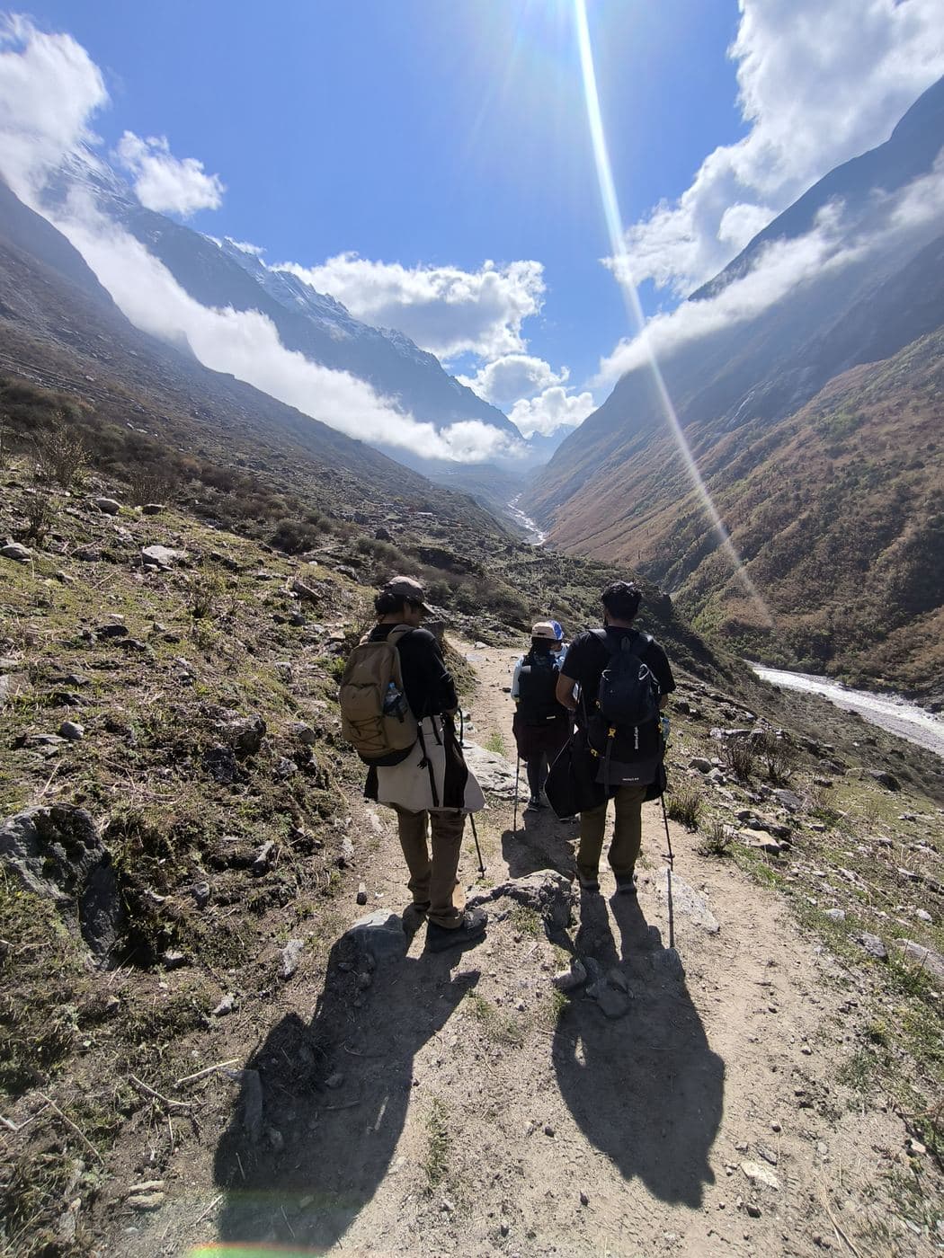
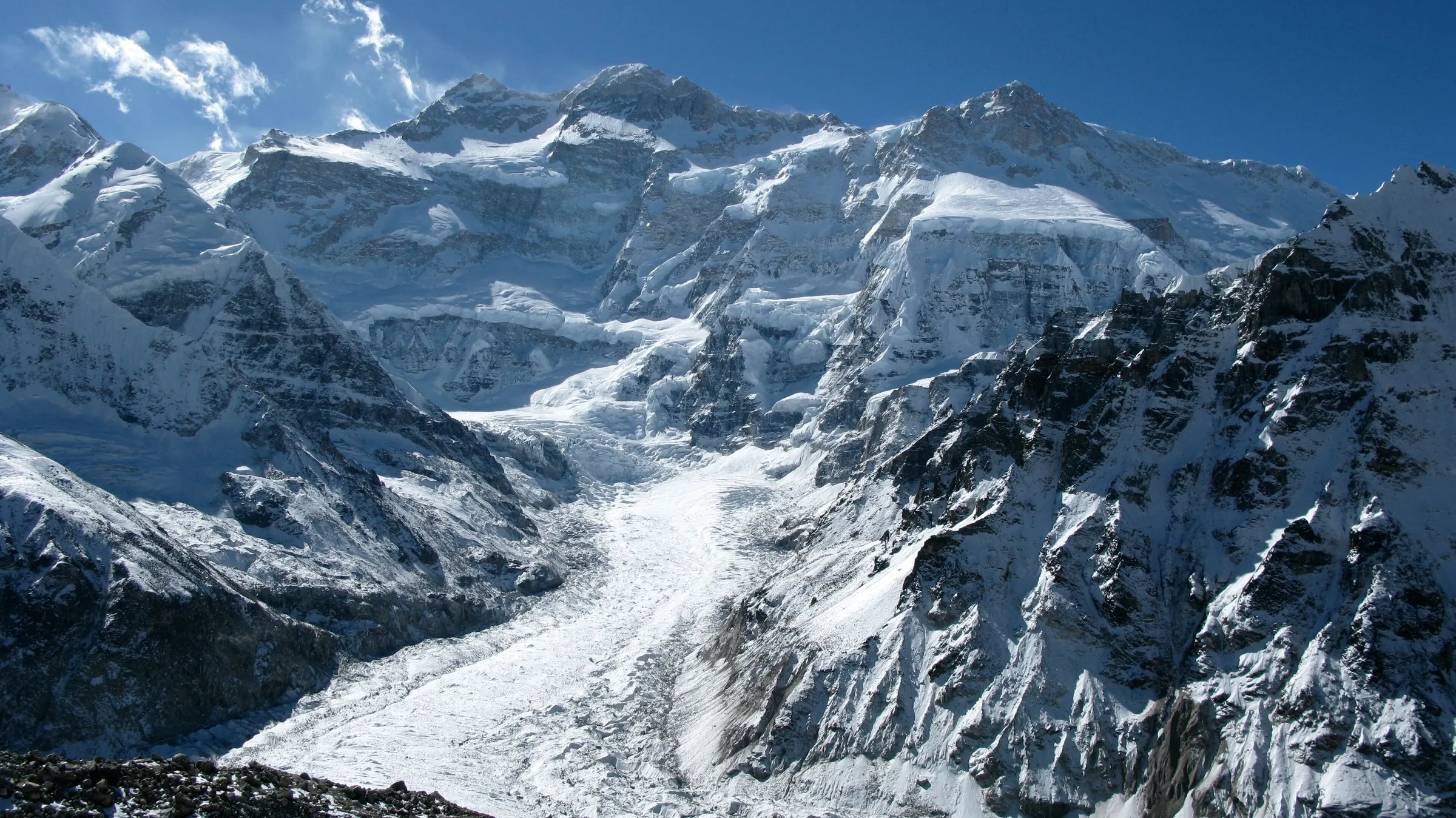
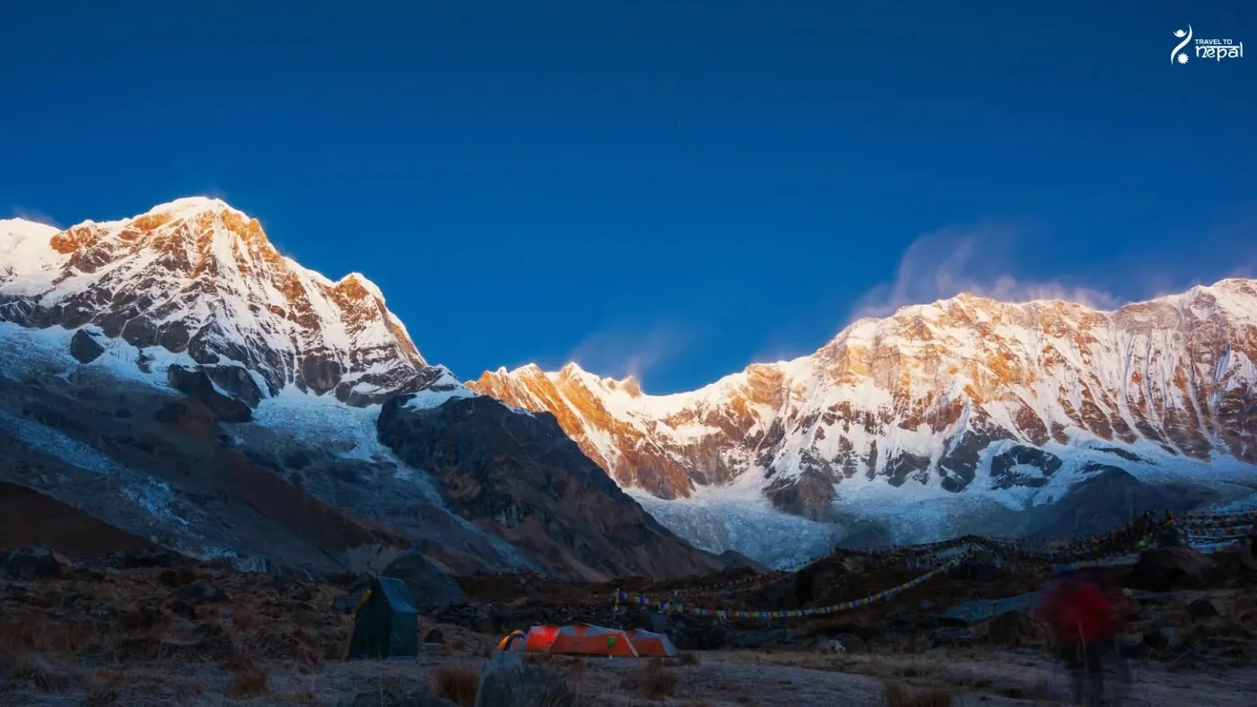
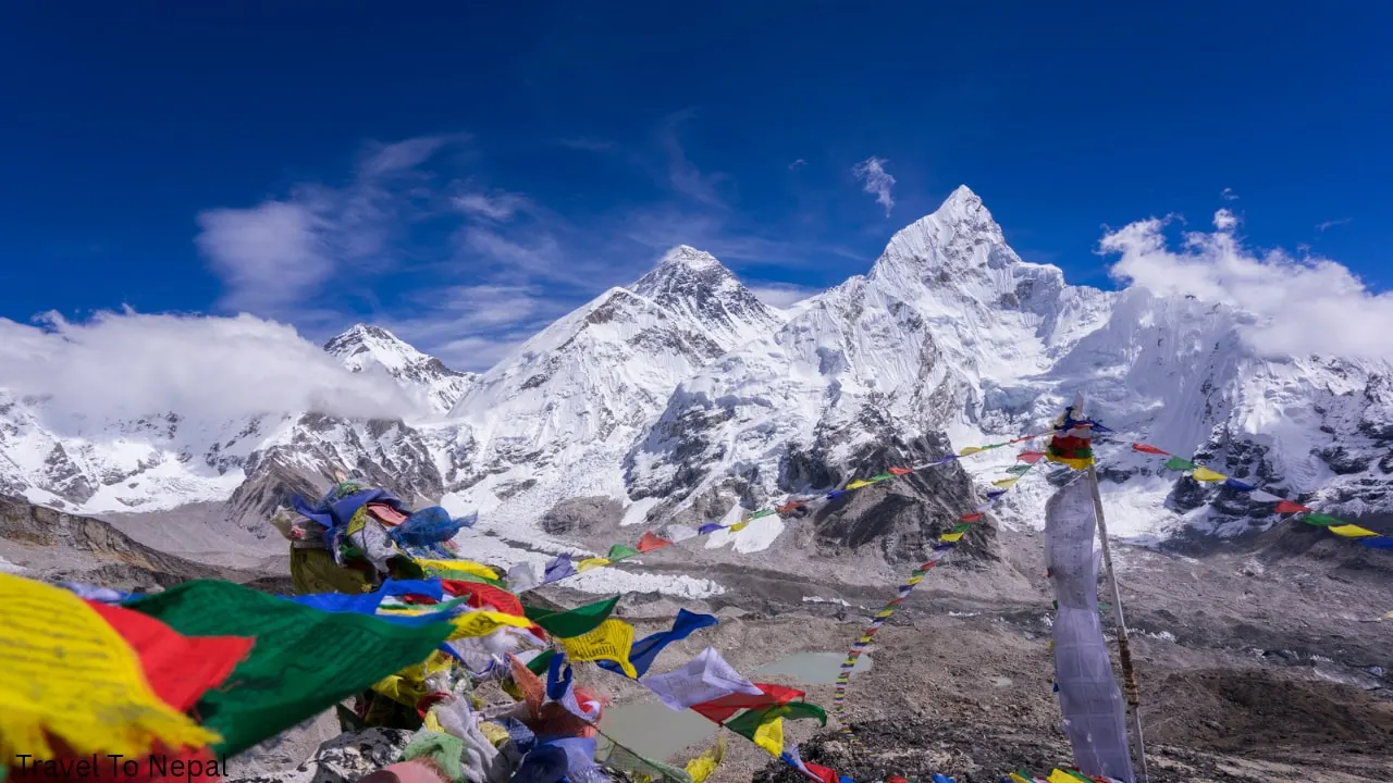
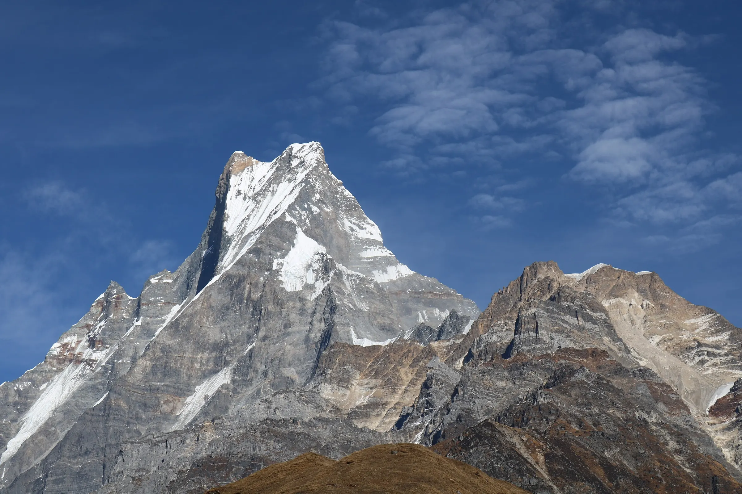
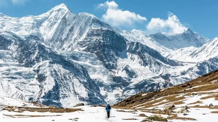
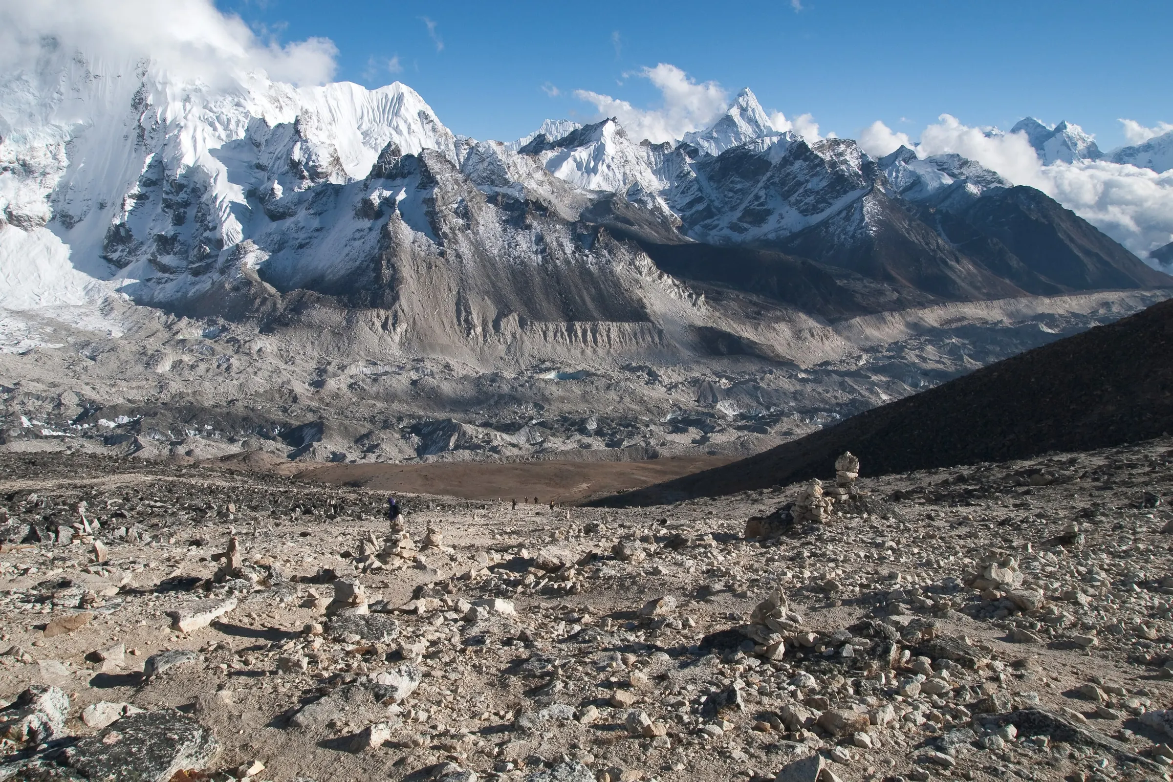
The Annapurna region is the mountain land around the Annapurna massif in central Nepal, just north of Pokhara in Gandaki Province. Its highest peak, Annapurna I (8,091 m), was the first 8,000 m mountain ever climbed, in 1950. Other main peaks are Annapurna South, Gangapurna, Machhapuchhre and the Lamjung Himal.
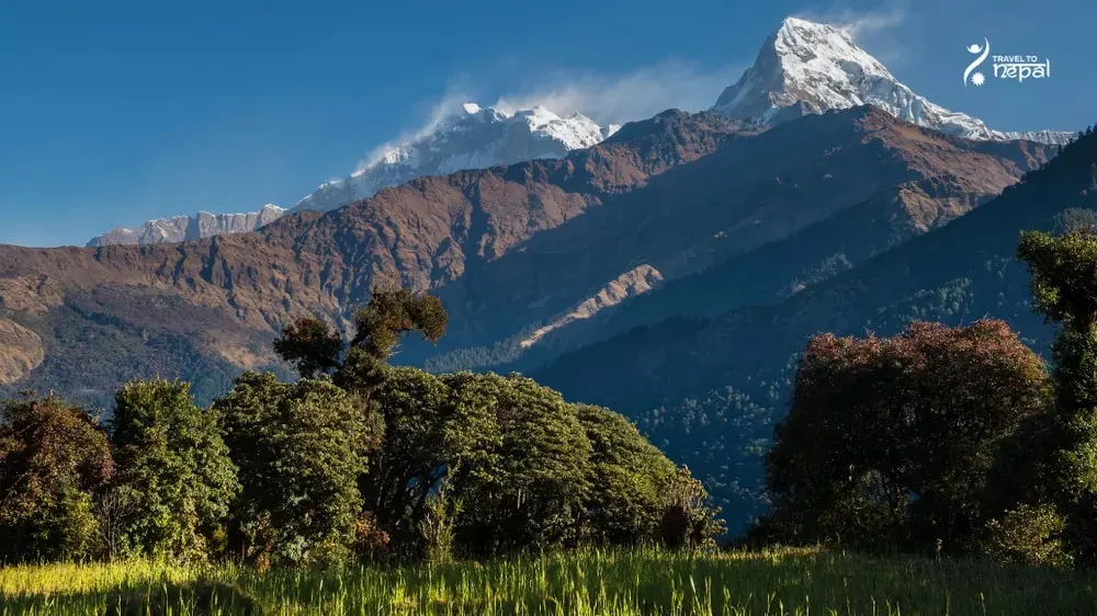
Image: Annapurna South and Nilgiri mountain view from green fields of Kaski
Annapurna Conservation Area (ACA)
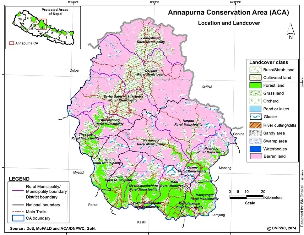
Almost all of the region lies inside the Annapurna Conservation Area (ACA). Started in 1986, it was Nepal's first conservation area and is still its largest, at 7,629 km² across five districts. Unlike a national park, more than 100,000 people live and farm inside it, and the National Trust for Nature Conservation runs it with local communities. Visitor fees pay for trails, schools and forest work.
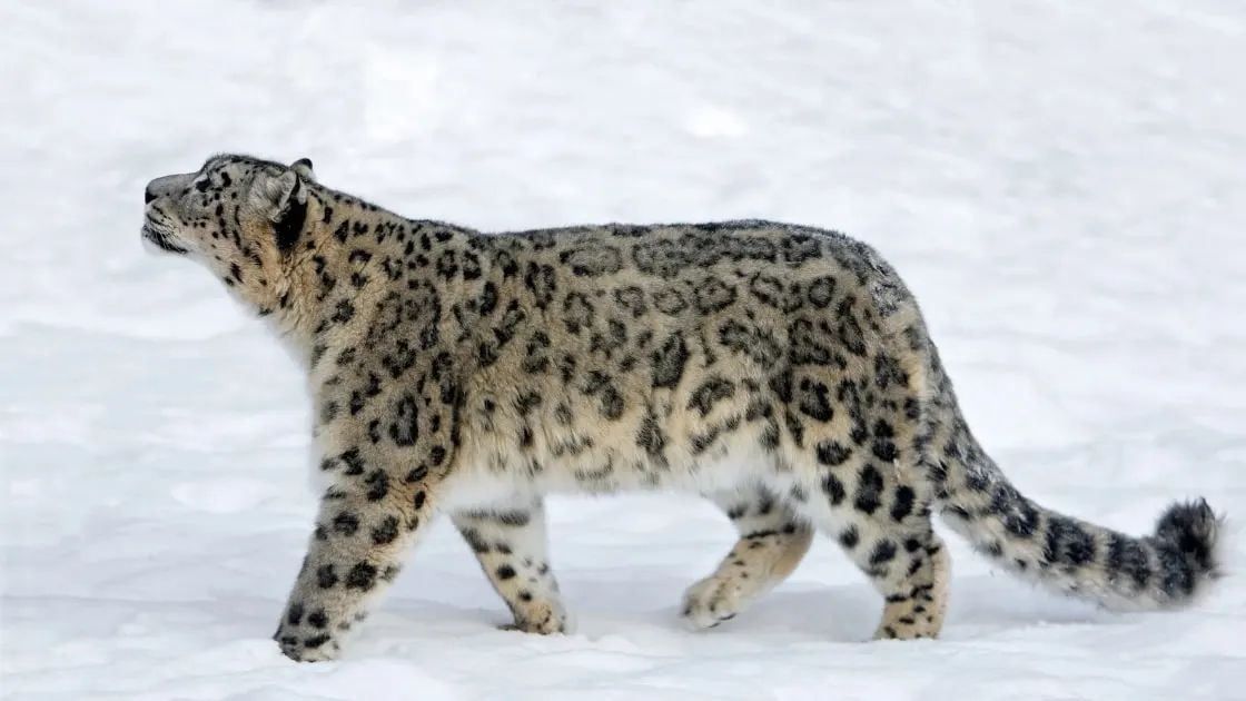
The region climbs from below 800 m to 8,091 m, so it holds very different worlds. The south side is wet and green, with rice terraces, oak and rhododendron forest. Behind the mountains, in manang, lies a dry rain-shadow zone of bare hills and pine. The ACA records more than 100 mammal species, about 500 bird species and over 1,200 flowering plants, including snow leopard, blue sheep, musk deer and the Danphe, Nepal's national bird.
Image: Snow Leopard in high altitude snowy regions
Annapurna Sanctuary and Modi Khola Valley
The Annapurna Sanctuary is the heart of the south side. The Modi Khola river cuts a narrow gorge between Hiunchuli and Machhapuchhre, then opens into a glacier bowl ringed by peaks. Annapurna Base Camp (4,130 m) sits inside it. Local people hold the Sanctuary sacred, so lodges there serve no meat, and Machhapuchhre is closed to climbers.
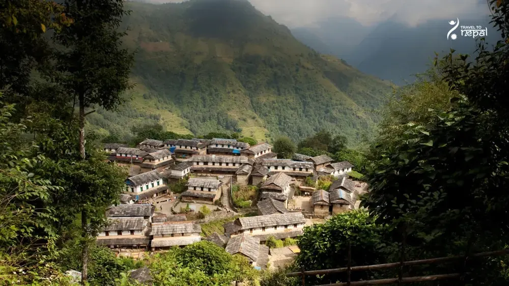
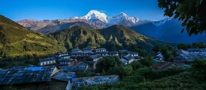
The southern foothills are Gurung and Magar country. Stone villages such as Ghandruk, Chhomrong and Ghorepani sit on ridges above the Modi and Kali Gandaki rivers, and Poon Hill (3,210 m) above Ghorepani is the region's best-known viewpoint. Nearby ridges include Mardi Himal on Machhapuchhre's south flank and Khopra Danda facing Dhaulagiri.
Image: Ghandruk Village, best known for its local gurung culture
Manang Valley and Nar Phu Valley
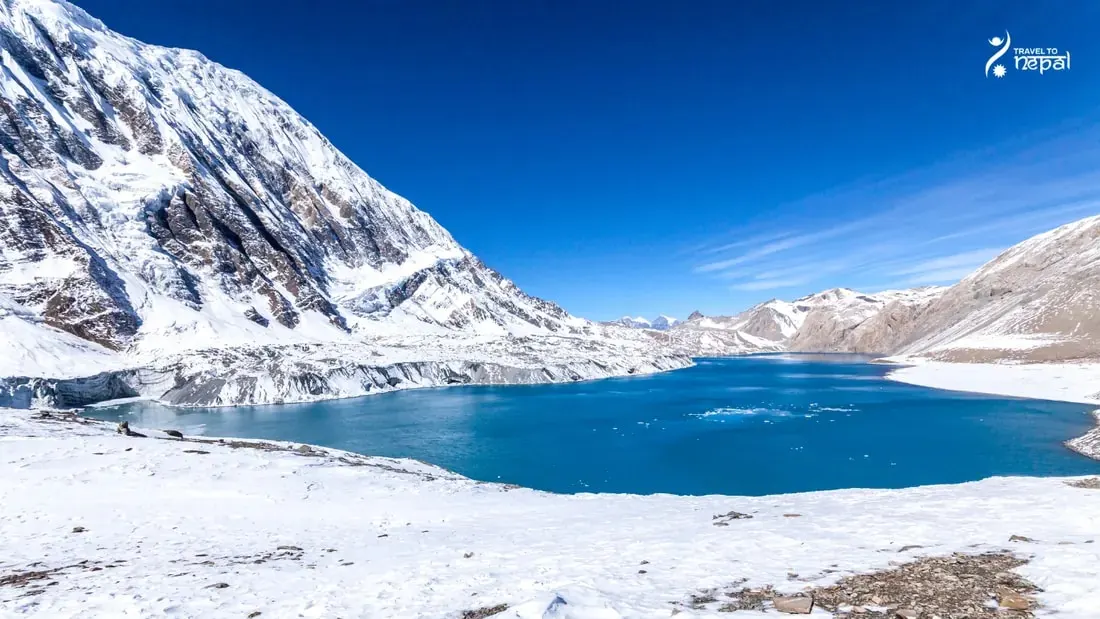
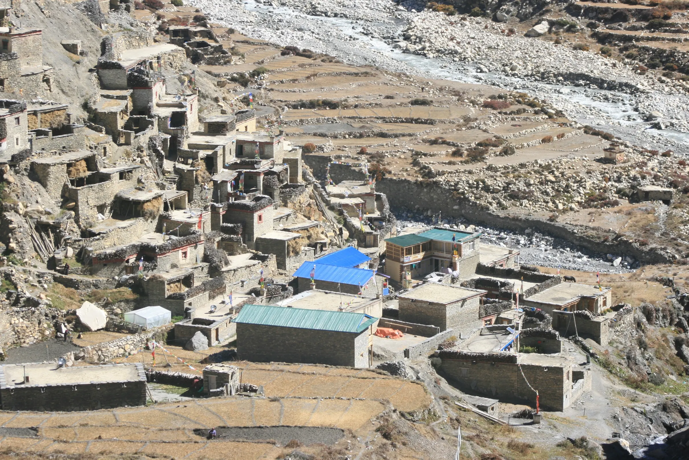
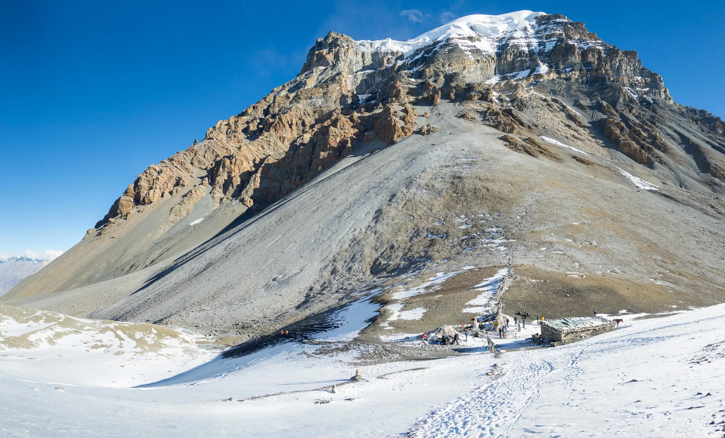
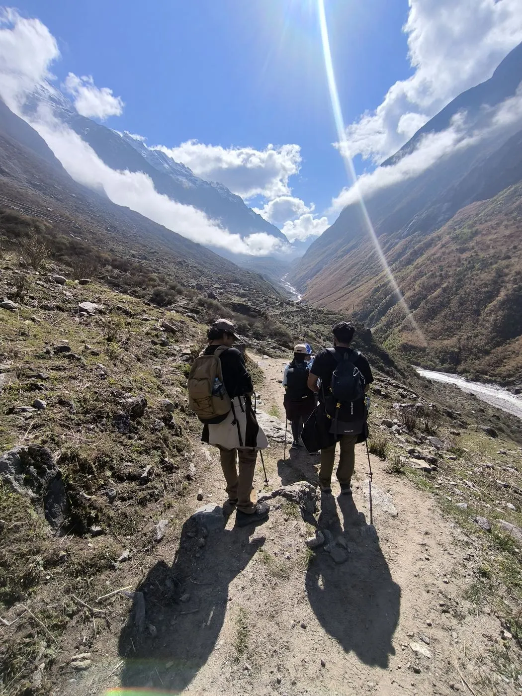
The Manang valley lies on the north side of the massif. The Marsyangdi river climbs from Besisahar through Chame and Pisang to Manang village (about 3,540 m), where flat-roofed stone houses, gompas and yak pastures show Tibetan roots. Tilicho Lake, one of the highest large lakes in the world, lies above Manang at about 4,920 m. Thorong La (5,416 m) links Manang with Muktinath on the far side.
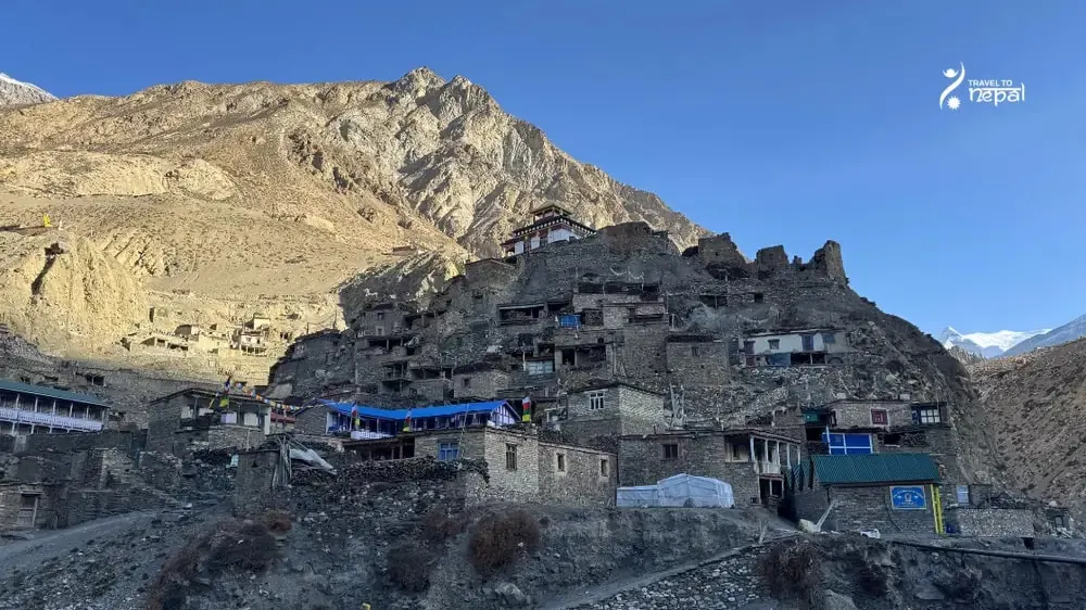
Nar Phu is a restricted side valley above Koto in Manang. Its two villages, Nar and Phu, keep old Tibetan Buddhist customs. You need a special permit and a licensed guide, and you cross Kang La (5,320 m) to rejoin the Manang valley.
Image: Phu Village, Nar Phu Valley, Manang
West of the Annapurna massif, the Kali Gandaki valley and Mustang district also lie inside the Annapurna Conservation Area. We cover them on our separate Mustang region page.
Treks, Teahouses and Easy Access
Teahouses cover almost every valley, so most visitors walk with a day pack. Treks run from 2-day ridge walks near Pokhara to the 16-day Annapurna Circuit and Nar Phu Valley trek around the whole massif. Most trailheads are 1 to 4 hours by jeep from Pokhara, and the Manang side starts from Besisahar.
The Annapurna region suits travellers who want close mountains, village life and short travel from Pokhara. Choose the Sanctuary for glaciers, the foothills for culture and easy walks, and Manang or Nar Phu for high, dry country behind the mountains.
Image: Annapurna Conservation Area map
Best for:
First Himalayan trek
Short treks
Culture
Inside the Annapurna Sanctuary
At Annapurna Base Camp, you stand in a glacier bowl ringed by Annapurna I, Annapurna South and Machhapuchhre.
Gurung and Manangi villages
Gurung ridge villages like Ghandruk in the south, Tibetan style Manang and Nar Phu in the north.
Valleys for every length
Choose 2 day ridge walks near Pokhara or a 13-day circuit around the whole massif.
Community run conservation area
Permit fees fund trails, schools and forests run with the 100,000 people who live here.
Treks
Trek in Annapurna Region
Bucket-list classic
Our signature Annapurna trek
Annapurna Circuit Trek
13 days
Challenging
Max 5,416 m
Private group
Through Gurung villages and rhododendron forest to Annapurna Base Camp (4,130 m), inside a ring of 7,000 m peaks. Hot springs at Jhinu Danda on the way down.
March to May is the second-best season. Rhododendron forests bloom on the southern ridges in March and April. Mornings are clear, afternoons bring cloud and showers, and May turns wetter.
Possible
Monsoon · Jun–Aug
June to early September brings daily rain, leeches and landslides on the southern side. Manang sits in a rain shadow and stays drier, but the road there is slow and often blocked. If you have 3 to 4 buffer days, then you can trek to Nar Phu Valley in Monsoon also.
Best
Autumn · Sep–Nov
Late September to November is the best season, with clear views and stable weather. It is also the busiest time, so book lodges early in Ghorepani, the Sanctuary and Manang.
Possible
Winter · Dec–Feb
December to February is dry and clear but cold. The low foothills are pleasant, while snow can close Thorong La and Kang La and raise avalanche risk in the Sanctuary gorge. You can still trek around Ghorepani and other lower trails.
Altitude limits, helicopter rescue and flight delays: the questions to ask before you buy.
Read the guide
Questions
Annapurna Region questions, answered
Where is the Annapurna region?
The Annapurna region is in central Nepal, north of Pokhara in Gandaki Province. It covers the land around the Annapurna massif across Kaski, Lamjung, Manang, Myagdi and Mustang districts. Pokhara, Nepal's second city, is the main gateway.
What is the Annapurna Conservation Area?
The Annapurna Conservation Area (ACA) is Nepal's first and largest conservation area, started in 1986 and covering 7,629 km². Unlike a national park, people live and farm inside it. The National Trust for Nature Conservation manages it with local communities, using visitor fees.
What is the Annapurna Sanctuary?
The Annapurna Sanctuary is a glacier bowl at the head of the Modi Khola valley, surrounded by Annapurna I, Annapurna South, Hiunchuli and Machhapuchhre. Annapurna Base Camp (4,130 m) sits inside it. Local Gurung people consider it sacred, so lodges there serve no meat.
What is the Manang valley?
The Manang valley is the upper Marsyangdi valley on the north side of the Annapurna massif. It lies in a rain shadow, so it is dry, with stone villages, gompas and yak pastures. Manang village (about 3,540 m) is the main town, and Tilicho Lake and Thorong La lie above it.
What is Nar Phu valley?
Nar Phu is a remote side valley of Manang, home to the Tibetan Buddhist villages of Nar and Phu. It is a restricted area and you need a special permit, a licensed guide and good fitness to cross Kang La (5,320 m).
Is Mustang part of the Annapurna region?
Mustang lies inside the Annapurna Conservation Area, but we treat it as its own region. It has a different landscape, history and, for Upper Mustang, its own restricted permit. See our separate Mustang region page for details.
Who lives in the Annapurna region?
Gurung and Magar people live mainly in the southern foothills, in villages like Ghandruk and Ghorepani. Manangi people, with Tibetan Buddhist traditions, live in the Manang valley, and the Nar and Phu villagers in their side valley. Many families run lodges or work as guides and porters.
What wildlife lives in the Annapurna region?
The Annapurna Conservation Area records more than 100 mammal species, about 500 bird species and over 1,200 flowering plants. Snow leopard, blue sheep and musk deer live high up, and langur monkeys and the Danphe (Himalayan monal) live in the forests. Blue sheep are often seen near Manang, while snow leopards are rarely seen.
What permits do I need for the Annapurna region?
You need an ACAP permit for any area inside the conservation area. ACAP costs NPR 3,000 for foreigners and NPR 1,000 for SAARC nationals. Nar Phu also needs a restricted area permit.
Do I need a guide in the Annapurna region?
No, you don't need guide. However, a new was formed in 1 April 2023, stating that foreign trekkers must use a licensed guide through a registered agency. However, it hasn't yet been implemented.
How do I get to the Annapurna region?
Most visitors start in Pokhara, about 200 km from Kathmandu by road or a 25-minute flight. From Pokhara, jeeps reach the southern trailheads in 1 to 4 hours. The Manang valley and Nar Phu start from Besisahar, about 7 hours by road from Kathmandu.
When is the best time to visit the Annapurna region?
October and November are the best months for clear views. March and April come next, with rhododendrons in bloom. Winter suits the low foothills, and Manang stays drier than the south during the monsoon.
What are the main treks in the Annapurna region?
The best known treks are Ghorepani Poon Hill (4 days), Annapurna Base Camp (7 days), Mardi Himal (5 days) and the Annapurna Circuit with Tilicho Lake (13 days). Quieter options include Khopra Danda, Nar Phu and North Annapurna Base Camp. Short 2 to 3 day walks such as Australian Camp start close to Pokhara.
Where do I sleep in the Annapurna region?
You sleep in teahouses in almost every valley. Lower villages often have hot showers and attached bathrooms, while the upper Sanctuary and upper Manang have basic rooms and shared toilets. Nar Phu and some foothill villages also have homestays.
How is the Annapurna region different from Everest?
Annapurna is lower, greener and reached by road from Pokhara, while Everest starts with a flight to Lukla. Annapurna has more variety, from subtropical villages to dry Tibetan-style valleys. Everest is higher overall and centred on Sherpa culture.
Can I trek Annapurna in the monsoon?
The lower trails are wet and views are often hidden from June to August. The upper Circuit, behind the mountains in the rain shadow, is drier, so it is the better choice if you can only come in summer.