In this guide (8 sections)
Quick answer
Thorong La is not technical, but it is high and long. Acclimatise in Manang, sleep at Thorong Phedi or High Camp, start before dawn, keep a slow and steady pace, and be ready to turn back if anyone shows serious signs of altitude sickness or the weather turns.
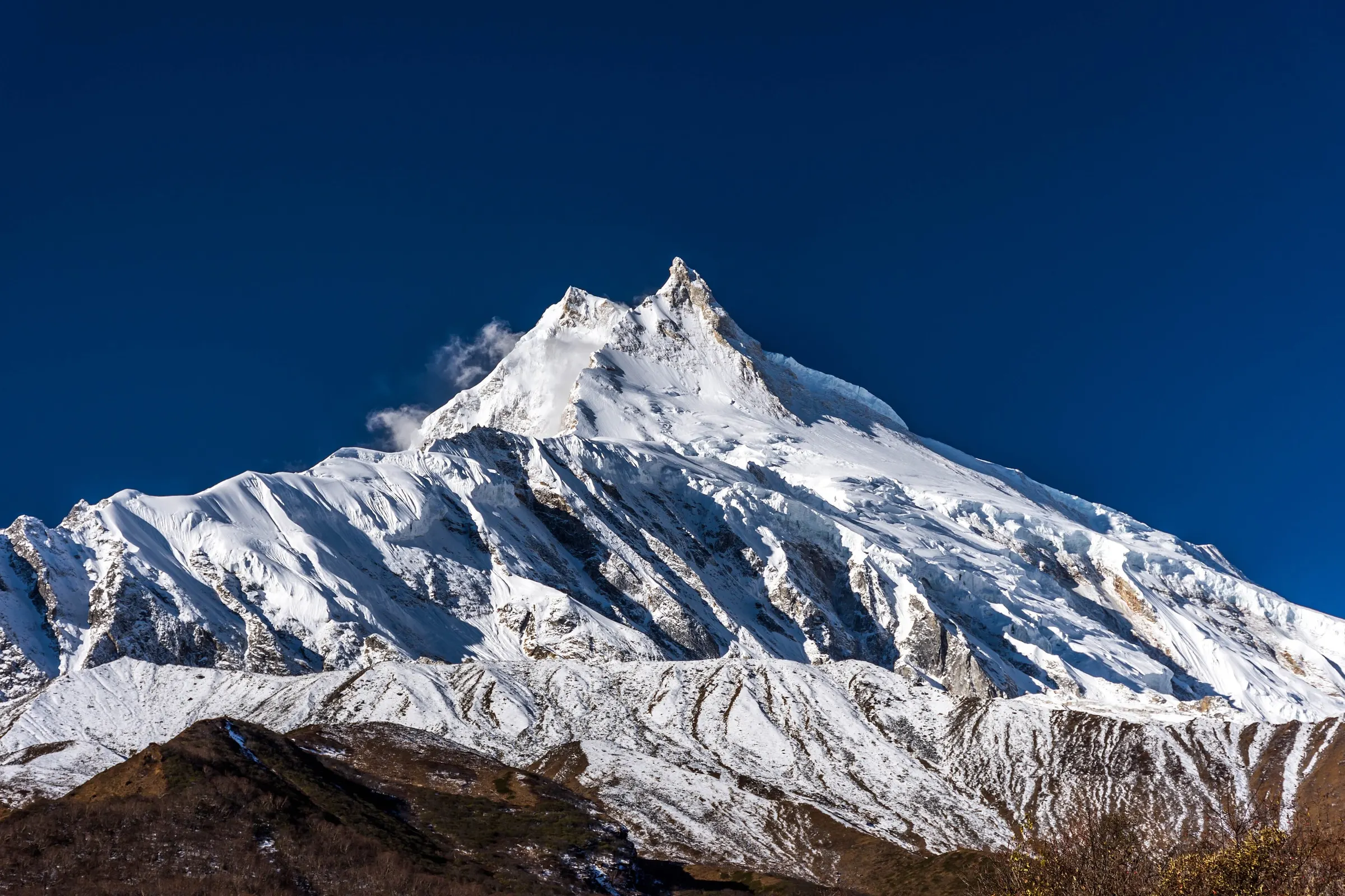
I come from Samagaon, below Manaslu, and I have led groups over the high passes of Manaslu and Annapurna for many years. Thorong La is the one most trekkers worry about, and with good reason: it is the highest point most people will ever walk to.
With the right preparation, it becomes a day you remember for all the right reasons. This is how we plan it.
Acclimatise before you go high
Our Circuit itinerary includes a full day in Manang (3,540 m), with a walk up to Praken Gompa (3,945 m) and back. Climbing high and sleeping lower helps your body adjust. From Manang we go up slowly: Yak Kharka (4,050 m), then Thorong Phedi (4,450 m).
Drink 3–4 litres of water, tea or soup a day
Walk slowly, even when you feel strong
Tell your guide about headaches, nausea or unusual tiredness straight away
Talk to your doctor before the trip about medication for altitude
The signs of altitude sickness
Mild symptoms are common above 3,500 m: a light headache, poor sleep, less appetite, feeling more tired than usual. They usually ease with rest, fluids and a slower pace. Tell your guide anyway, because they check everyone each evening and need the full picture.
Symptoms that get worse, not better, are a different matter. A headache that does not respond to rest, vomiting, confusion, clumsiness, or breathlessness while resting are warning signs. The right response is to stop going up and, if they continue, to go down.
Day 7: Trek from Manang to Tilicho Base Camp
Past Khangsar and a landslide zone to Tilicho.
About 7 hours · 4,150 m
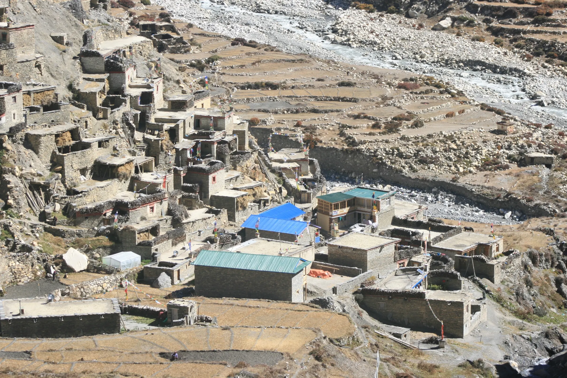
Today you leave the main Annapurna Circuit and walk west toward Tilicho Lake. From Manang, the trail crosses the Marsyangdi and climbs gradually for about 2 hours and 5 km to Khangsar (3,734 m). Khangsar is a quiet village of flat-roofed stone houses and stacked firewood. Few trekkers stop here, so it feels calm compared to Manang.
From Khangsar, the trail climbs steeply at first and then more gently for about 2.5 hours to Shree Kharka (4,060 m), where you stop for lunch. Khangsar Kang (7,485 m), also called Roc Noir, towers over the valley ahead.
The last 5 km from Shree Kharka to Tilicho Base Camp is the most dangerous part of the whole trek. The trail crosses a long, steep slope of loose scree, and small rocks sometimes fall from above. The path is narrow, with a big drop below. Follow your guide's rules here: walk steadily, do not stop for photos, keep a gap between you and the person in front, and look up the slope from time to time. This section takes about 2.5 hours.
Tilicho Base Camp (4,150 m) has about 10 lodges, a health post and grid electricity since 2024. Rooms are basic wooden rooms or dorms with no heating, and toilets are shared. The lodges fill up fast in October, which is why we book ahead. Nepal Telecom phone signal has worked here since October 2025. Eat an early dinner and go to bed early, because tomorrow starts around 5 AM.
Day 8: Hike to Tilicho Lake (4,919 m), then Trek to Shree Kharka
Early climb to Tilicho Lake, then Shree Kharka.
About 7 hours · up to 4,919 m at Tilicho Lake · sleep 4,060 m
Today you climb to Tilicho Lake, the highlight of the side trip. You leave base camp at about 5 AM. The trail to the lake is 5 km long, but it climbs about 800 m on a steep zigzag path up a dusty slope. It takes about 3.5 hours. Walk slowly and breathe deeply. In late autumn and spring, there may be snow and ice near the top, so your guide may ask you to wear microspikes.
At the top of the climb, the trail reaches a ridge, and Tilicho Lake (4,919 m) appears in front of you. The lake is deep turquoise in autumn and is often frozen from December to March. Tilicho Peak (7,134 m) rises above the far shore, with glaciers dropping toward the water. Spend about 30 minutes here for photos and a snack. The wind at the lake is cold even on sunny days, so keep your down jacket on.
The walk back down to base camp takes about 1.5 hours on the same steep path. Use your trekking poles and take short steps. You have lunch at base camp. Then you cross the landslide zone again and walk 2 hours back to Shree Kharka (4,060 m). The same safety rules apply: keep moving and do not stop in the exposed section.
Sleeping at Shree Kharka, about 90 m lower than base camp, helps your body recover after the high climb. You reach it by mid-afternoon. Lodges here are simple, with shared toilets and short menus.
Day 9: Trek from Shree Kharka to Yak Kharka
Rejoin the main trail at Yak Kharka.
About 7 hours · 4,050 m
Today you walk back to the main Annapurna Circuit trail without going back to Manang. The first 5 km is a gentle 2-hour descent from Shree Kharka to Khangsar. From Khangsar, you take a side trail that drops to the river, crosses it and climbs the slope on the other side. This part has some steep climbs, so take regular water breaks.
The trail joins the main circuit above Manang and continues up the wide, open valley to Yak Kharka. This section from Khangsar takes about 5 hours and 8 km. Gangapurna and Annapurna III stay behind you, and the Chulu peaks rise to the east. Look out for blue sheep on the slopes in the late afternoon.
Yak Kharka (4,050 m) means "yak pasture", and the village sits on wide grassy slopes used by herders. Rooms are small and basic, with thin walls and shared toilets, and electricity can be weak. Your sleeping height is almost the same as last night, which keeps your acclimatization steady before the last climb.
The pass day, step by step
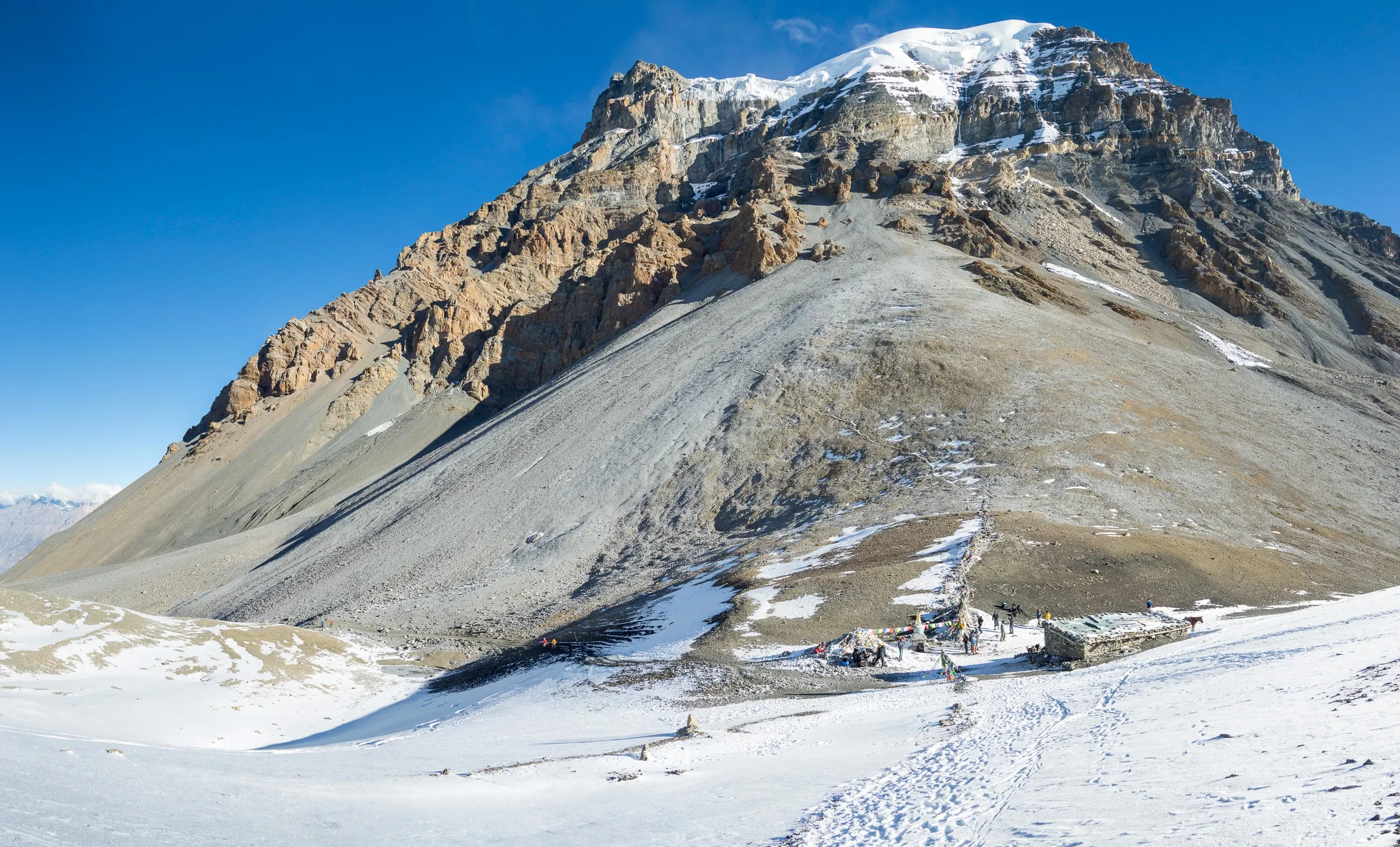
We usually leave Thorong Phedi around 4–5 am, by headlamp. The first steep climb to High Camp (about 4,880 m) takes about an hour. Above that, the trail climbs steadily over moraine and often snow to the prayer flags on the pass, about 3–4 hours more for most groups.
After photos and a hot drink at the top, the long descent to Muktinath (3,800 m) begins: about 1,600 m down on steep, loose ground. Many trekkers find the descent harder than the climb. Take it slowly and use your poles. Most groups reach Muktinath in the early afternoon.
Pack for the pass day
- Down jacket and a warm hat
- Insulated gloves, plus a thin pair
- Headlamp with spare batteries
- 2 litres of water in insulated bottles
- Snacks you like to eat when you are tired
- Sunglasses and sunscreen
- Trekking poles for the descent
- Microspikes, if your guide says the snow needs them
“On Thorong La the top is only halfway. I keep everyone's strength for the descent to Muktinath, and I never mind turning back. The pass will still be there next season.”
Weather and the time of year
The pass is usually crossed from late September to November and from March to May. Snow can close it for a day or more at any time, and in winter it is often closed for long spells. In the late morning, strong cold winds often blow across the top, which is another reason we start so early.
If you are combining Nar Phu with the Circuit, you will already have crossed the Kang La (5,320 m), which is excellent preparation for Thorong La a few days later.
High Camp or Thorong Phedi?
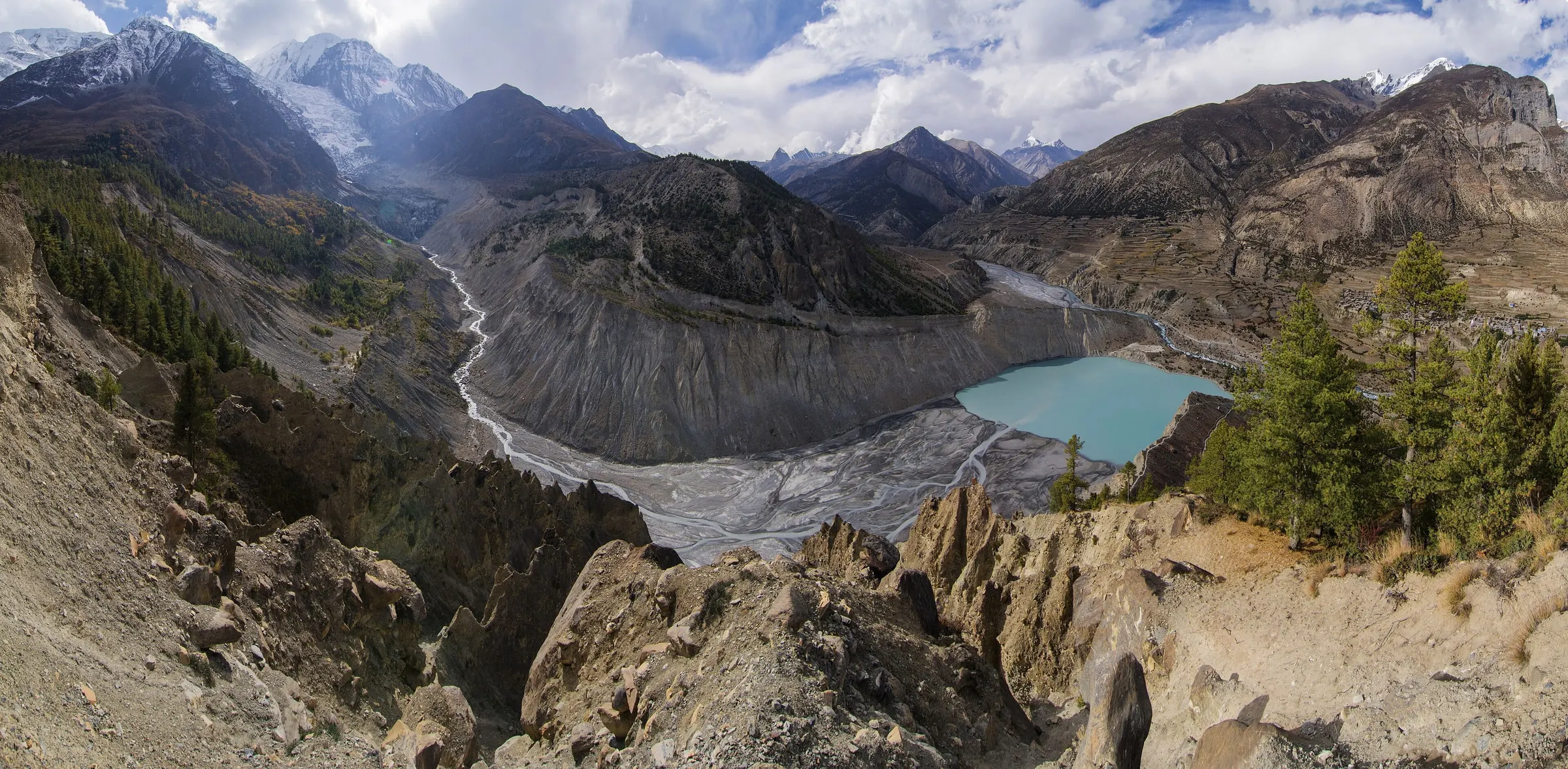
Thorong High Camp is higher, so it shortens the pass day by about an hour. Thorong Phedi is lower, which is usually better for sleep and for the body. We choose for each group: if everyone is well acclimatised and the weather is settled, High Camp can work; if anyone is struggling, we stay at Phedi.
Either way, go to bed early. The alarm goes off long before sunrise.
Training before the Circuit
You cannot train for altitude at home, but you can make the rest of the trek easier. In the 6–8 weeks before you fly, walk hills or stairs with a light pack, and do at least a few long days of 5–6 hours on your feet.
Strong legs make the steep descent to Muktinath much more comfortable, and good general fitness leaves more energy for coping with the thin air on the pass.
Frequently asked questions
How high is Thorong La?
5,416 m (17,769 ft). It is the highest point of the Annapurna Circuit and one of the highest trekking passes in the world.
Do I need climbing experience to cross Thorong La?
No. It is a walking pass with no ropes or climbing. You need good fitness, warm clothing and proper acclimatisation. Microspikes can help on icy mornings.
What happens if the pass is closed?
We wait at Thorong Phedi or Manang for the weather to clear, which is why our itineraries keep a spare day. If the pass stays closed, we turn back and plan another route with you.
Is the descent to Muktinath difficult?
It is long and steep, with loose gravel in places. Go slowly, use trekking poles and keep drinking. Most people are tired but happy by the time they reach Muktinath.
Which way is best to cross Thorong La?
Almost everyone crosses from Manang to Muktinath, anticlockwise. The climb from that side is more gradual, and it gives you more time to acclimatise on the way up.
Plan your Circuit with a guide who knows the pass
Was this guide helpful?
Want our trekking guides to show up first when you search on Google?