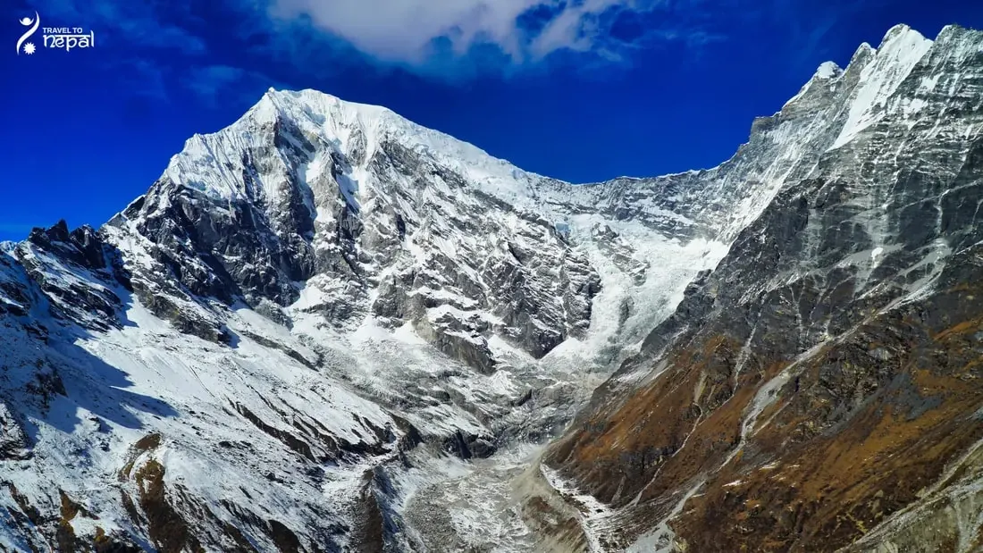
The Manaslu region is the mountain area around Mount Manaslu (8,163 m), the world's eighth highest peak, in northern Gorkha district. Most of it lies inside the Manaslu Conservation Area (MCA), a 1,663 km² protected area declared in 1998. The region borders Tibet to the north, the Annapurna Conservation Area to the west and the Ganesh Himal range to the east.
Budhi Gandaki Valley, Nubri and Tsum Valley
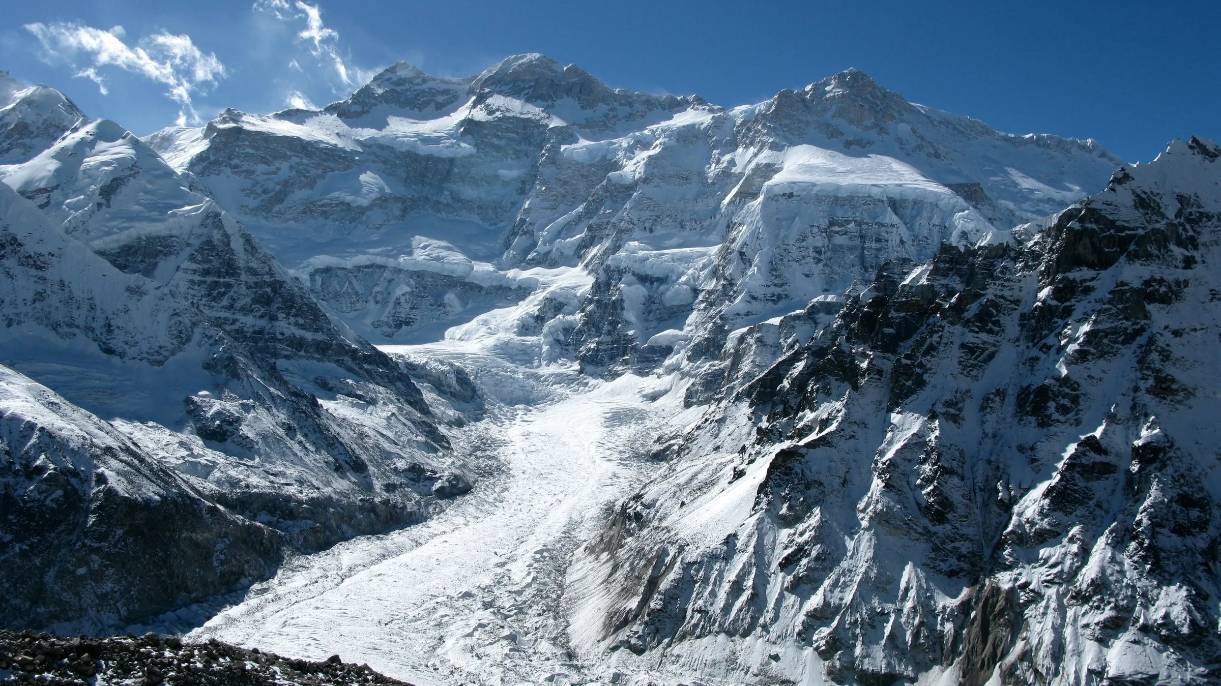
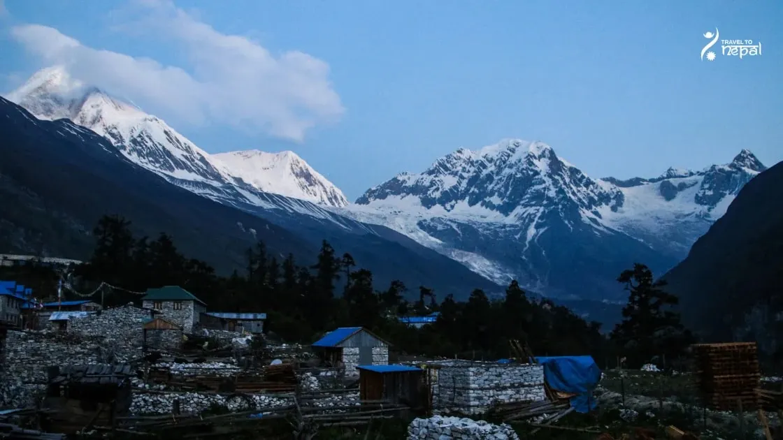
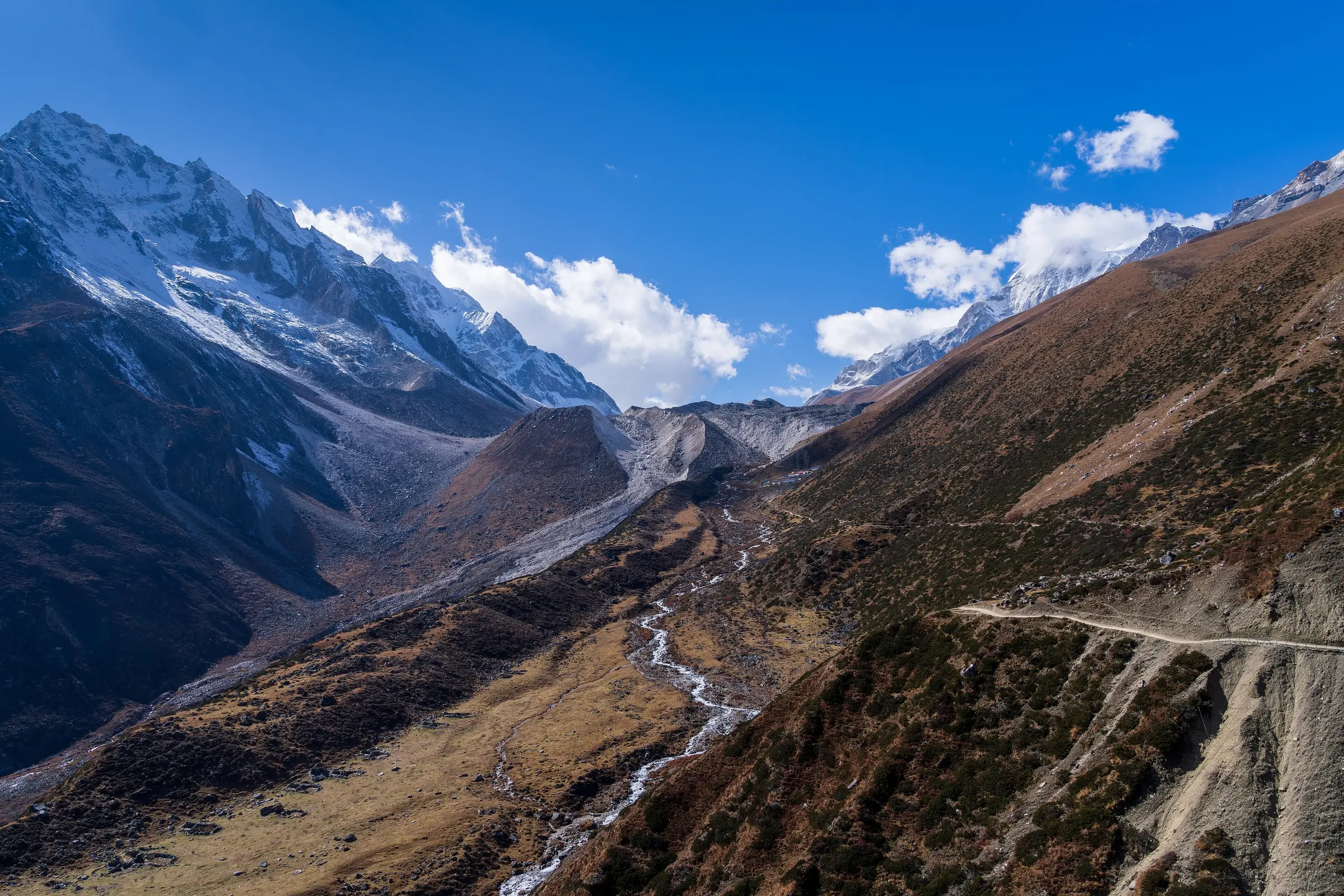
Two rivers shape the region. The Budhi Gandaki cuts a deep gorge into Nubri, the high valley under Manaslu's north side. Its side river, the Shiar Khola, drains Tsum Valley. Above both valleys stands the Manaslu massif, which also includes Ngadi Chuli (7,871 m) and Himal Chuli (7,893 m).
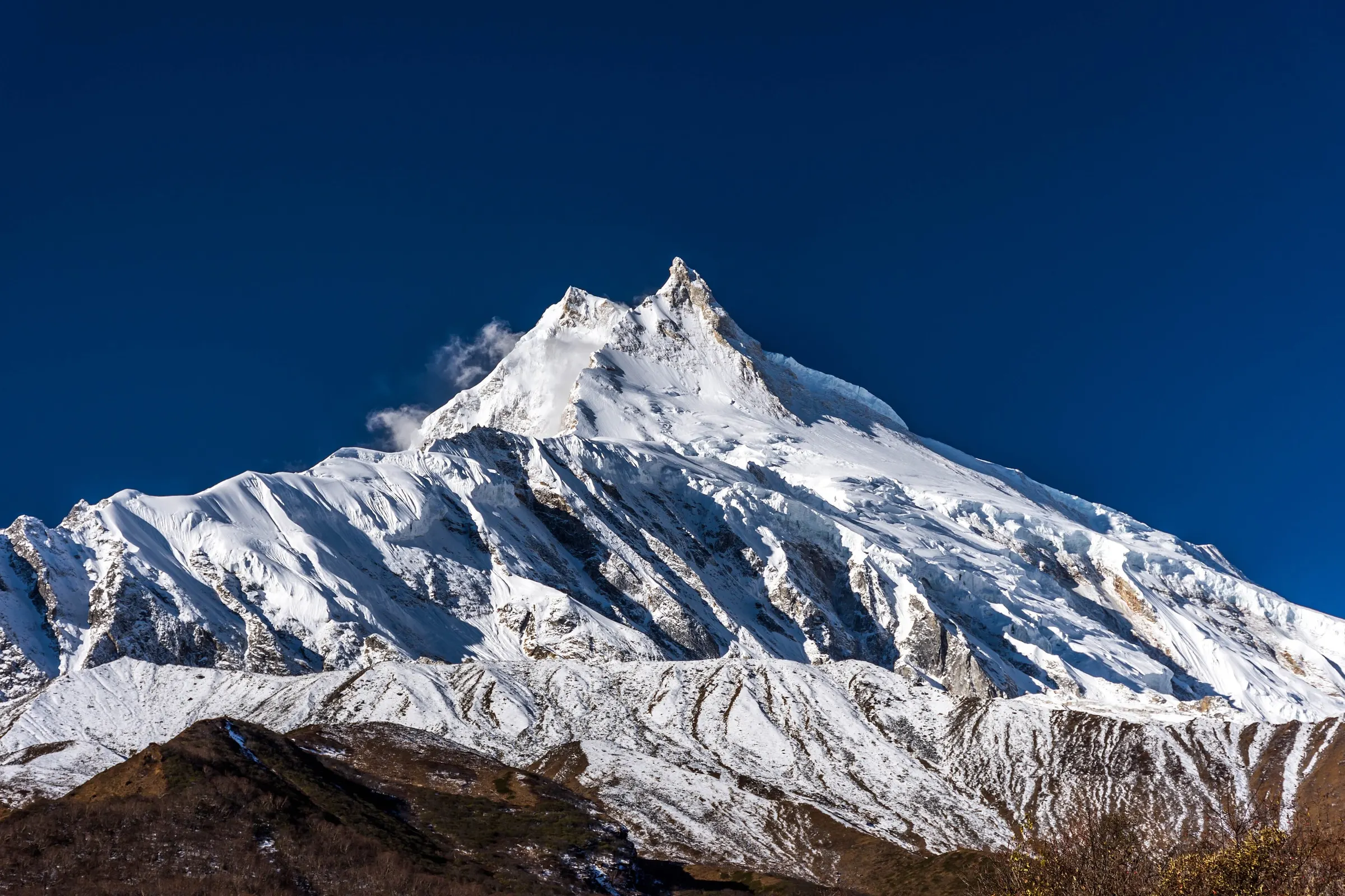
Image: Shyala Gaun/Village; Manaslu massif in the back.
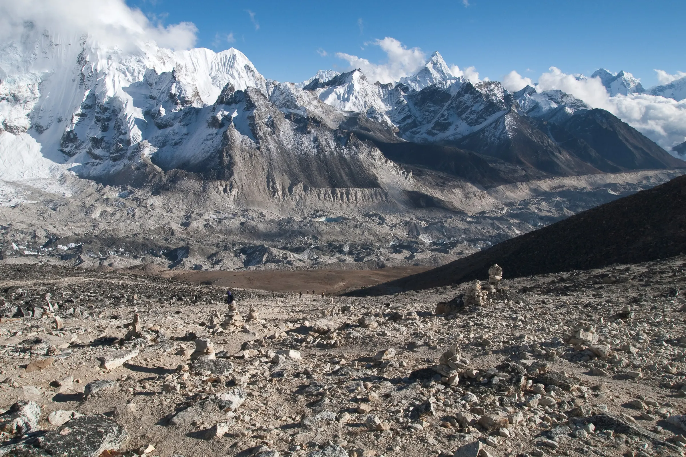
The land changes fast because the altitude changes fast. The conservation area climbs from warm valleys below 1,500 m to the top of Manaslu. In a few days you pass rice and millet terraces, then pine and rhododendron forest, then yak pastures, moraines and glaciers. The government counts 33 mammal species, more than 110 bird species and around 2,000 plant species here, including snow leopard, musk deer and Himalayan tahr.
People and Culture: Gurung, Nubri and Tsumba
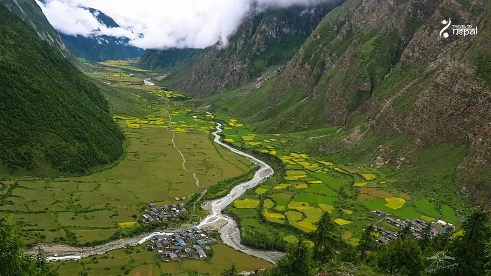
The people change with the land. Gurung and Magar villages fill the lower valley. Above about Namrung you enter Nubri, where Tibetan-speaking Buddhists live in stone houses behind long mani walls and chortens. Tsum Valley keeps even older ways of life, with Mu Gompa, Rachen Gompa nunnery and Milarepa's Cave. Many villages here are still reached only on foot.
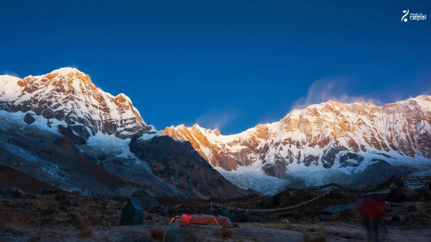
Image: Tsum Valley after Monsoon
Entry to the upper region is controlled. Nubri and Tsum are a restricted area, so every foreign visitor needs a permit issued through a registered agency and must walk with a licensed guide. You also need the Manaslu Conservation Area Permit (MCAP), plus ACAP if you exit through Manang. Partly because of these rules, the region sees far fewer visitors than Everest or Annapurna.
Treks in the Manaslu Region
Trekking is the main way to see the region. The Manaslu Circuit (13 days) circles around the mountain and crosses Larkya La (5,106 m) into the Marsyangdi valley. The Tsum Valley trek (11 days) goes out and back to Mu Gompa at about 3,700 m. Both combine in 18 days. Teahouses line the main valley and get simpler higher up, while Tsum has small lodges, homestays and a monastery guesthouse.
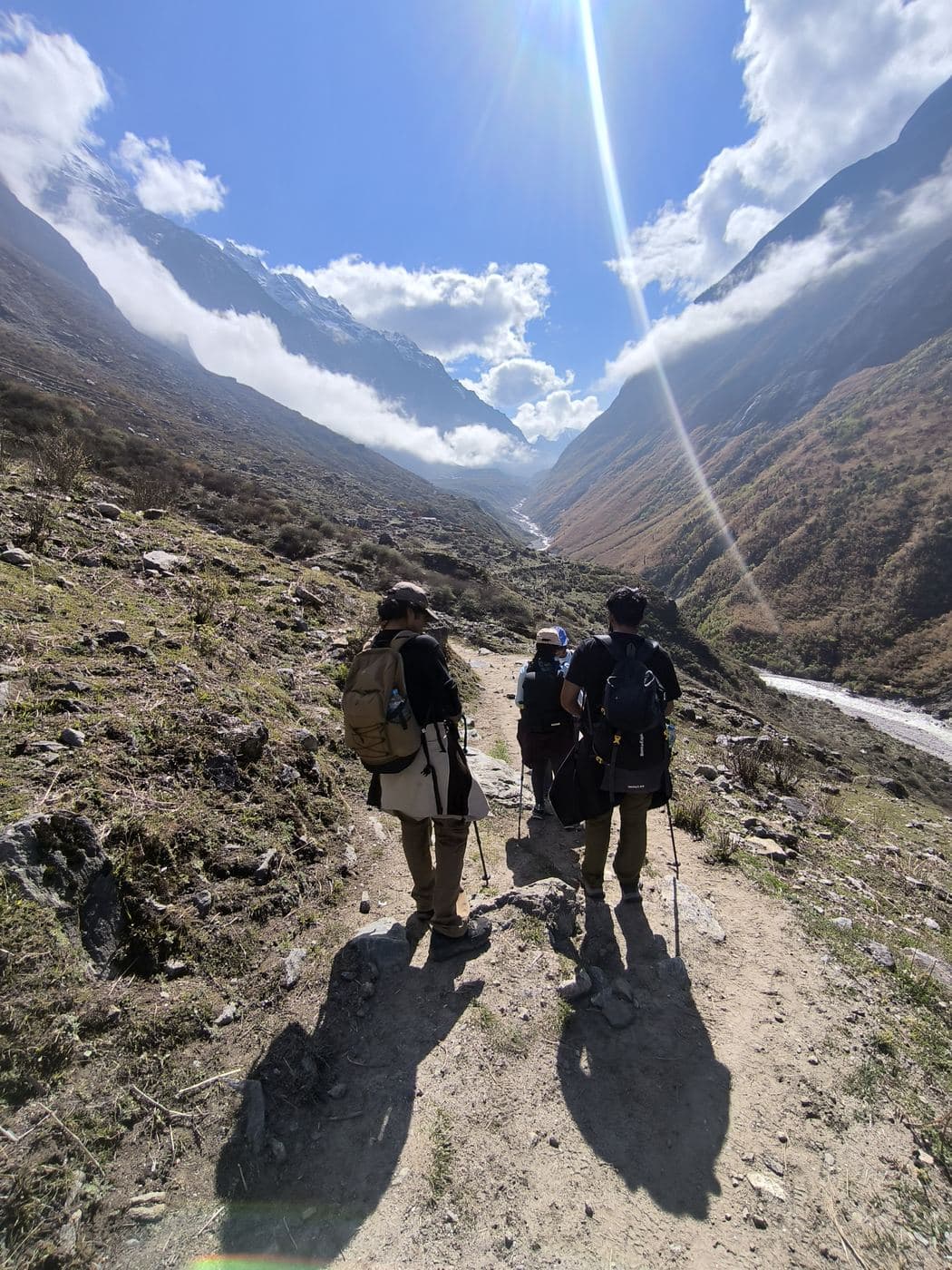
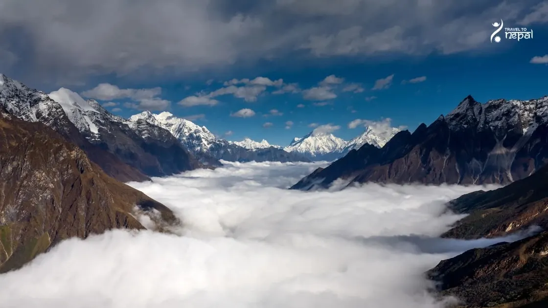
Image: Nubri Valley in Manaslu Conservation Area covered by clouds.
The region is reached by road only, as it has no airport. A jeep or bus takes about 8 to 10 hours from Kathmandu to Machha Khola via Arughat, which has the last ATM. Visitors who cross Larkya La leave by jeep from Dharapani to Besisahar.
The valley is steep and fragile, and 2026 showed it. On 6 September a flash flood at Namrung destroyed two bridges. On 11 October a larger Budhi Gandaki flood washed away bridges between Soti and Philim. Trekkers returned from 16 October, but jeeps now stop at Khorlabesi and the Tsum trail was still blocked in late October. Check the latest status with us before you book.
The Manaslu region suits travellers who want to see a whole Himalayan valley system, from rice terraces to Tibetan Buddhist villages and glaciers, with few other visitors around. Fit hikers can cross Larkya La, while those who want culture at a lower altitude can stay in Tsum Valley.
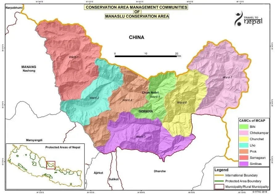
Image: Manaslu Region Map (Manaslu Conservation Area)
Best for:
High Passes
Quiet Trails
Traditional Himalayan Buddhist Culture
World's 8th highest peak
You walk right around Manaslu (8,163 m) and see it up close from Samagaon and Larkya La.
Real high-pass crossing
Larkya La (5,106 m) links the Budhi Gandaki and Marsyangdi valleys in one long, rewarding day.
Nubri and Tsumba villages
Stone villages, gompas and prayer walls show Tibetan Buddhist life that still runs much as before.
Few trekkers on trail
Restricted-area permits keep numbers low, so trails and teahouses stay quieter than Everest or Annapurna.
Treks
Trek in Manaslu Region
Remote circuit
Our Manaslu Circuit trek
Manaslu Circuit Trek
13 days
Challenging
Max 5,106 m
Private group
Up the Budhi Gandaki gorge to Samagaon below Manaslu, over the Larkya La (5,106 m) and down to Dharapani. Restricted permits and a licensed guide included.
March to May is the second-best season. Days are warm in the lower valley, and rhododendrons bloom on the lower slopes. Clouds often build in the afternoon, and Larkya La can still hold snow in March.
Not ideal
Monsoon · Jun–Aug
June to August brings heavy rain, leeches, landslides and broken roads in the gorge. The 2026 floods show how fragile the Budhi Gandaki trail is. We do not recommend this season.
Best
Autumn · Sep–Nov
September to November give the clearest views and the most stable weather, so they are the busiest months. Book early because Samdo and Dharamsala have only a few lodges. September can still retain the clouds and rainfall from the previous monsoon season.
Not ideal
Winter · Dec–Feb
December to February is very cold above Samagaon. Early December still has clear views. However, late December can work with good luck, but snow can close Larkya La. January and February are best avoided for the Circuit. Lower Tsum Valley is possible in February.
Altitude limits, helicopter rescue and flight delays: the questions to ask before you buy.
Read the guide
Questions
Manaslu Region questions, answered
Where is the Manaslu region?
The Manaslu region is in northern Gorkha district, in central Nepal. It borders Tibet to the north, the Annapurna Conservation Area (Manang) to the west and the Ganesh Himal range to the east. The Budhi Gandaki valley runs through its middle from south to north.
What is the Manaslu Conservation Area?
The Manaslu Conservation Area (MCA) is a 1,663 km² protected area that covers most of the region. It was declared in 1998 to protect the land, wildlife and culture around Manaslu. Visitors pay an entry fee (MCAP), and the money goes into conservation and local projects.
Why is the Manaslu region a restricted area?
The Manaslu region was designated a restricted area partly for geopolitical and border-security reasons. During the 1960s and early 1970s, Tibetan Khampa resistance fighters used remote areas of northern Nepal as a base for their armed struggle against Chinese rule in Tibet. To address China's security concerns, maintain good relations with China, and control cross-border activities, Nepal restricted access to several northern border regions. These restrictions remained even after Nepal disarmed the Khampa fighters in 1974.
The restrictions also help protect the region's fragile mountain environment, traditional Tibetan-influenced culture, and remote communities from uncontrolled tourism. Manaslu was opened to organised trekking in 1991, but access remains regulated through special permits, licensed guides, and registered trekking agencies.
What permits do I need to visit the Manaslu region?
You need a Manaslu Restricted Area Permit and the MCAP, plus ACAP if you exit through Manang. Tsum Valley needs its own restricted permit.
Can I visit the Manaslu region alone?
Only a Nepalese person can visit the Manaslu region alone. Foreign trekkers can go as one person, but not without a guide. Since 22 March 2026 a single traveller can get the restricted area permit, so you no longer need a second person. The permit must still come through a registered agency, and a licensed guide must walk with you.
Who lives in the Manaslu region?
Three main groups live in the region. Gurung and Magar villages fill the lower, warmer valley. Above about Namrung live the Nubri people, and in Tsum Valley the Tsumba, both Tibetan-speaking Buddhists with stone houses, gompas and long mani walls.
What wildlife lives in the Manaslu Conservation Area?
The MCA has 33 recorded mammal species, more than 110 bird species and around 2,000 plant species. Snow leopard, musk deer and Himalayan tahr live in the higher valleys. You are far more likely to see blue sheep, tahr and birds than a snow leopard, which is rarely seen.
What can you see in the Manaslu region?
You see a full Himalayan cross-section in one valley. The walk passes rice terraces, deep gorges, forest, yak pastures and glaciers below Manaslu (8,163 m), Himal Chuli and Ngadi Chuli. Cultural sites include Pungyen Gompa near Samagaon, Mu Gompa, Rachen Gompa and Milarepa's Cave in Tsum.
What are the main treks in the Manaslu region?
There are three main treks. The Manaslu Circuit (13 days) loops around the mountain over Larkya La (5,106 m). The Tsum Valley trek (11 days) stays below about 3,700 m and focuses on culture. The two combine in about 18 days.
What is Tsum Valley?
Tsum Valley is a side valley in the north-east of the Manaslu region, along the Shiar Khola river toward Tibet. It is one of the most traditional Tibetan Buddhist areas in Nepal, with old monasteries and nunneries. It needs a separate restricted area permit and has only small lodges and homestays.
How do I get to the Manaslu region?
The region is reached by road only, as it has no airport. A jeep or bus covers about 157 km from Kathmandu to Machha Khola via Arughat in 8 to 10 hours. After the October 2026 flood, vehicles stop at Khorlabesi and you walk on to Jagat.
When is the best time to visit the Manaslu region?
October and November are the best months, with clear skies and dry trails. Clouds and rainfall generally remains in September. March to May is the second choice, with warmer days and rhododendrons in the lower forest. The June to August monsoon brings landslides in the gorge, and winter snow can close Larkya La. However, early December still has clear views, with far less crowd.
What facilities are there in the Manaslu region?
Facilities are basic and get simpler as you climb. Teahouses serve dal bhat and simple meals, Samagaon has the most lodges, and Tsum has small lodges and homestays. Arughat has the last ATM, and mobile signal and Wi-Fi are patchy higher up.
How is the Manaslu region different from Annapurna and Everest?
Manaslu is quieter, more remote and more controlled. It has no airport and needs a restricted area permit and a guide, while Everest starts with a flight to Lukla and Annapurna has more roads and larger lodges. In return, Manaslu's villages see far fewer visitors.