 Best time to trek
Ringmo Village, Dolpo: A Trekker's Guide to Phoksundo's Bon Village
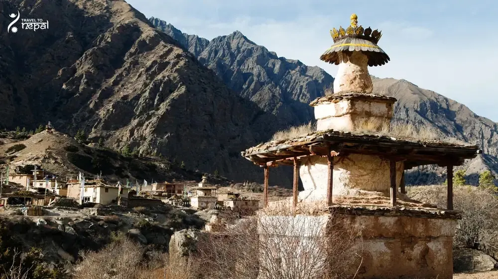
Ringmo is home to Dolpo-pa families of Tibetan origin who farm, herd yaks, run small lodges and follow Bon religion.
Government-licensed trekking agency
Popular treks
Annapurna Circuit Trek with Tilicho Lake13 days · from $550Everest Base Camp Trek14 days · from $1,000Langtang Valley Trek10 days · from $890Manaslu Circuit Trek13 days · from $1,280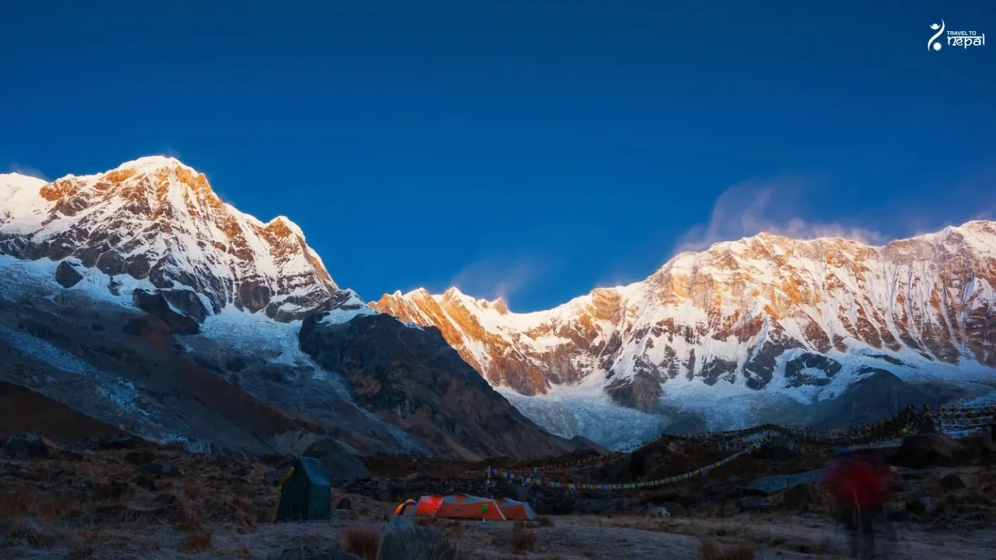 Annapurna RegionUp to 8,091 m
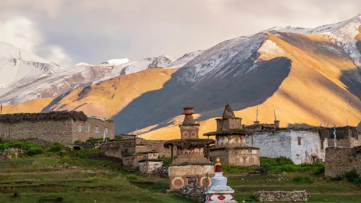 Dolpo RegionUp to 7,246 m
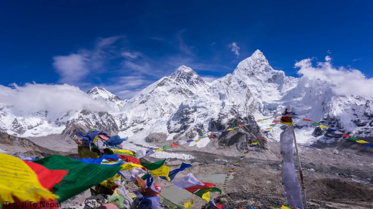 Everest RegionUp to 8,848 m
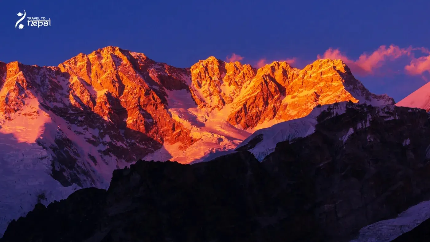 Kanchenjunga RegionUp to 8,586 m
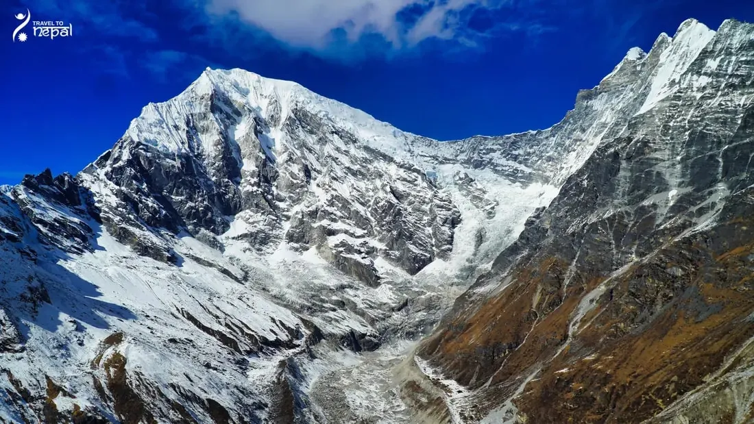 Langtang RegionUp to 7,227 m
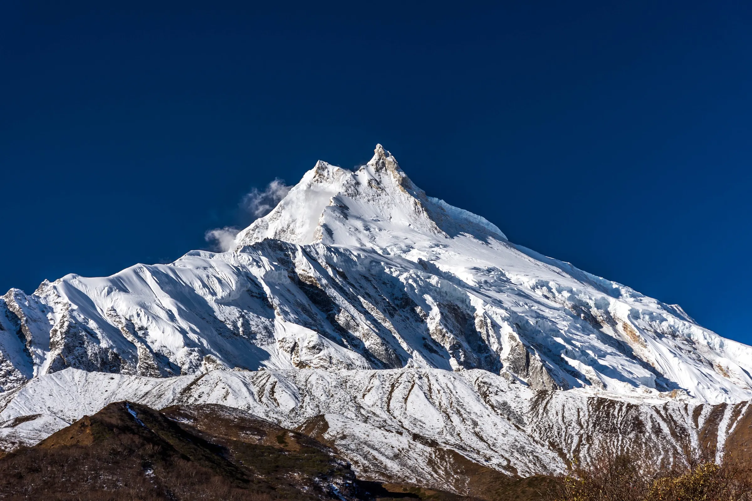 Manaslu RegionUp to 8,163 m
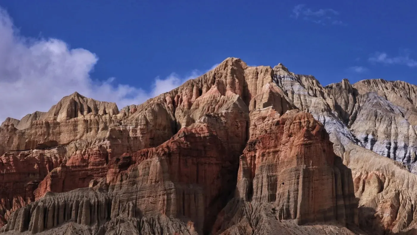 Mustang RegionUp to 7,061 m
Shey Phoksundo NP, Dolpa district, Nepal
Best: Mar–Jun, Sep–Nov
Nepal's deepest lake, Bon monasteries and Tibetan-style valleys hidden behind Dhaulagiri, inside Nepal's largest national park.
About the region
he Dolpo region is a high, dry land in Nepal's far north-west, tucked behind the Dhaulagiri and Kanjiroba ranges on the border with Tibet. It lies in Dolpa District, Nepal's largest district by area, in Karnali Province. Because the mountains block most monsoon clouds, Dolpo looks more like the Tibetan plateau than the green hills of central Nepal.
Most of Dolpo is protected by Shey-Phoksundo National Park. Created in 1984, it is Nepal's largest national park at 3,555 km², spread across Dolpa and Mugu districts, with a 1,349 km² buffer zone around it. The park climbs from about 2,200 m at Suligad to 6,883 m on Kanjiroba, its highest point.
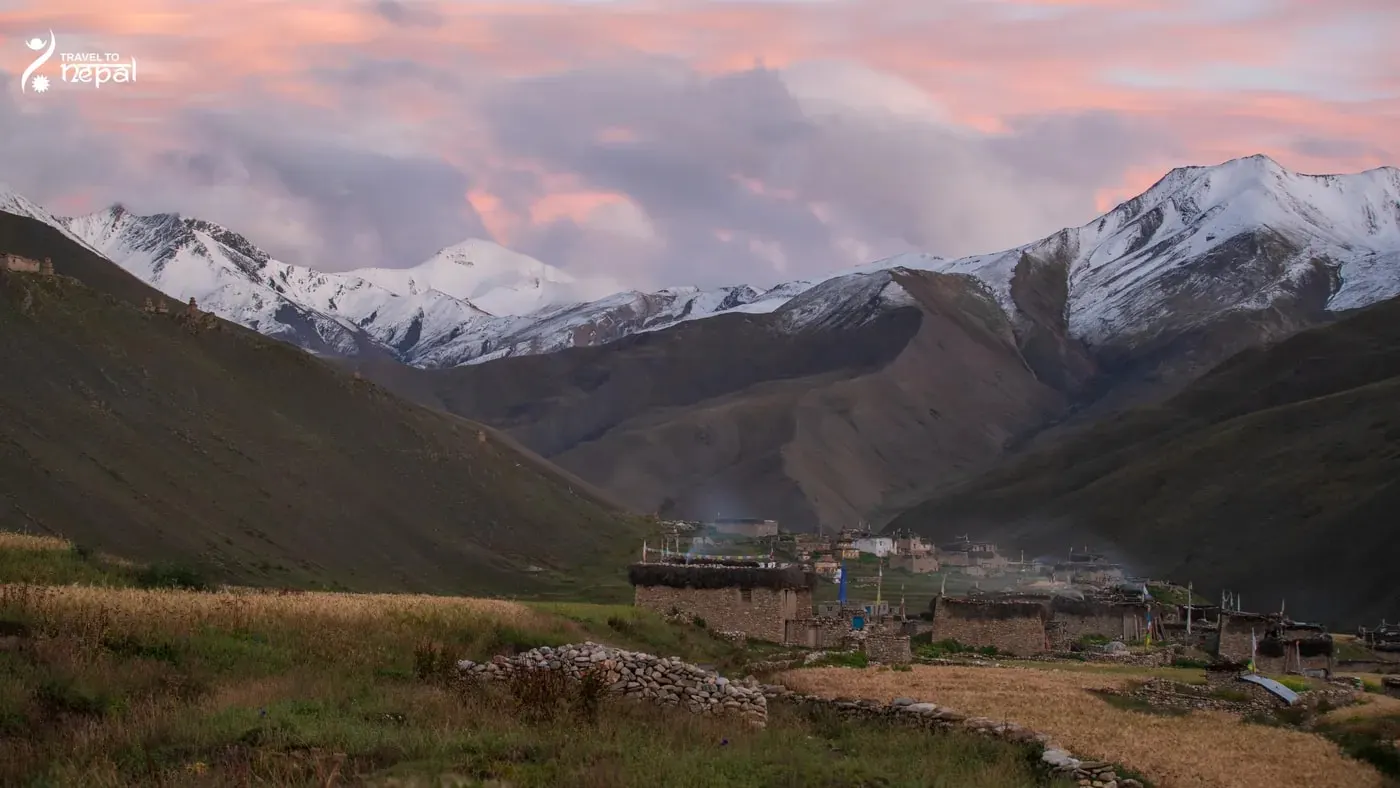
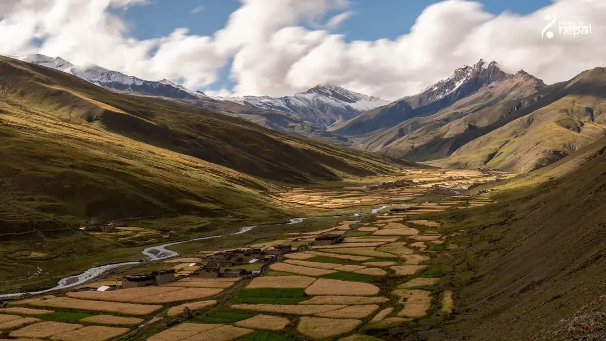
Image: Dho Tarap Village, Shey Phoksundo Lake
Dolpo's land changes from pine and birch forest in the south to bare brown valleys, high grasslands and glaciers further north. Snow leopard, blue sheep, Tibetan wolf and musk deer live in the park, and it records more than 200 bird species, including the Danphe. Peter Matthiessen's book The Snow Leopard describes a 1973 journey through these valleys.
Phoksundo Lake is the best-known place in Dolpo. The turquoise lake sits at about 3,611 m and covers about 4.94 km², and surveys put its depth at 136 to 145 m, among the deepest in Nepal. It became a Ramsar wetland in 2007. Ringmo village stands on the old landslide dam at its southern end, beside a waterfall of about 167 m.
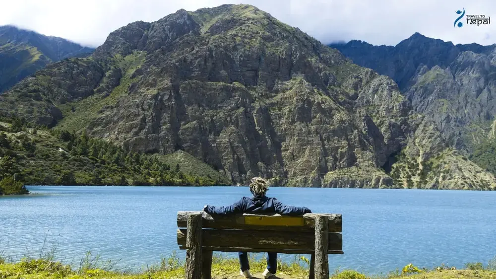
Image: Shey Phoksundo Lake
Lower Dolpo is the southern half of the region, around Juphal, Dunai, the district headquarters, and Tarakot. North of Tarakot, the Tarap valley climbs to Dho Tarap (about 4,000 m), a cluster of stone villages and old gompas. Numa La (5,190 m) and Baga La link Tarap with Phoksundo.
Image: Ringmo Village, Lower Dolpo Region
Upper Dolpo is the restricted northern half, beyond Phoksundo. Kang La (5,360 m) leads to Shey Gompa, an 11th-century monastery below Crystal Mountain, a peak sacred to local Buddhists. Further north, the Saldang and Namgung valleys sit close to the Tibet border, with fields of barley and long mani walls.
The Dolpo-pa are Tibetan-speaking farmers and yak herders who live at some of the highest villages in Nepal. Many follow Tibetan Buddhism, while others keep Bon, a religion older than Buddhism in Tibet; Thasung Tsholing Gompa near Ringmo is a Bon monastery. For centuries families drove yak caravans to trade salt and grain with Tibet, a life shown in the 1999 film Himalaya, also known as Caravan. Lower down, around Dunai and Tarakot, live Khas Hindu villagers.
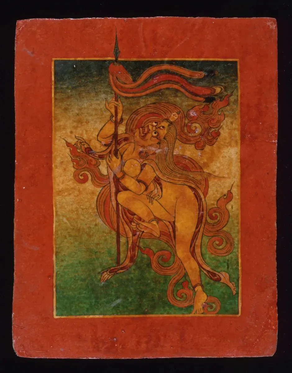
Image: Bon Ritual Card
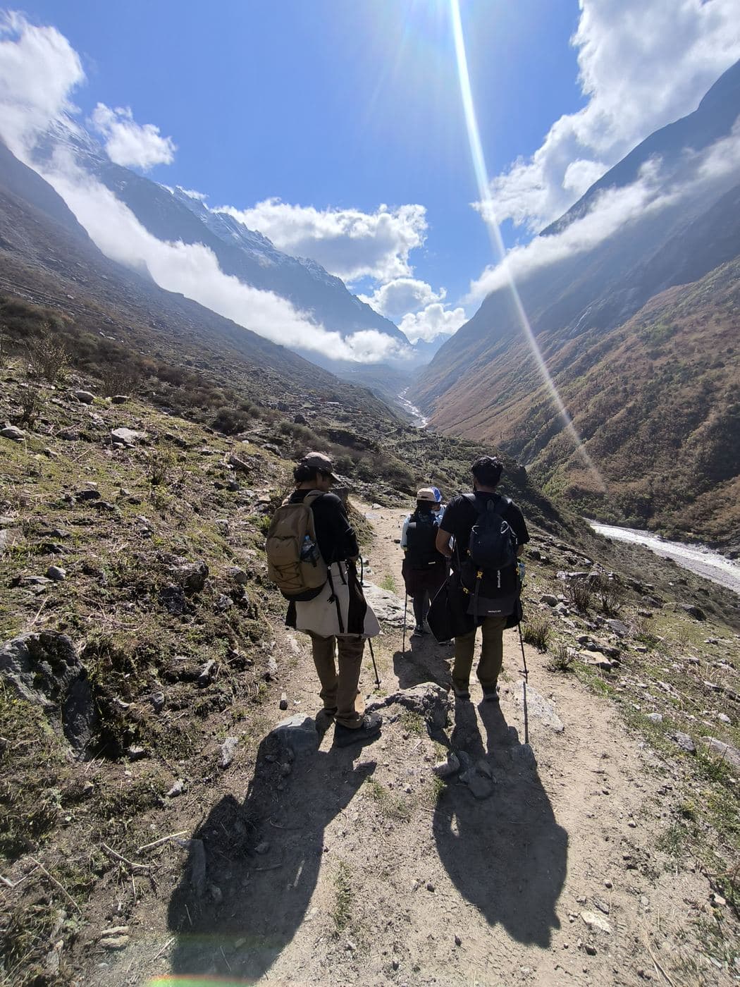
Dolpo has no road beyond Dunai, so you see it on foot, mostly on camping treks. Treks run from about 7 to 10 days to Phoksundo, 15 days around Lower Dolpo and 25 days in Upper Dolpo. You fly Kathmandu to Nepalgunj and then to Juphal on a morning-only flight that wind often delays. Upper and Lower Dolpo are restricted areas, so you need a permit through a registered agency and a licensed guide; since 22 March 2026 one person can get it alone.
The Dolpo region suits experienced travellers who want empty trails, Bon and Buddhist villages and a landscape found nowhere else in Nepal. Only 1,825 foreign visitors entered the national park in the five years to October 2025. Start with Phoksundo Lake if you have about 10 days, or choose Upper Dolpo for the full journey.
Kanjiroba (6,883 m) and Crystal Mountain from the passes; Putha Hiunchuli (7,246 m) from the Tarap gorge.
Tibetan-origin herders, Bon gompas at Ringmo and the 11th-century Shey Gompa.
Upper valleys stay dry in summer, so June to August trekking works beyond Phoksundo.
Fewer than 400 foreign visitors a year enter the park; no roads beyond Dunai.
Treks
Combine treks, a shorter version or a side trip. We plan it around your days.
Best time to go
Best
The Shey Phoksundo trek is good all spring, with clear mornings and mild days around Ringmo and the lake. On Lower Dolpo, snow often covers Numa La and Baga La in March and April, so May is the best month. On Upper Dolpo, Kang La (5,360 m) can hold snow until May, so start late in the season.
Possible
Dolpo lies in a rain shadow, so summer trekking works here. The Shey Phoksundo trek gets some rain on the trail from Juphal but stays open. Upper Dolpo is best in June, and its high valleys stay fairly dry in July and August. Lower Dolpo is good in June but wetter later, with landslide risk in the Tarap gorge. Juphal flights are cancelled more often, so add spare days.
Best
Autumn is the best season for all three treks. The Shey Phoksundo trek is clear and dry from September to November. Lower and Upper Dolpo are best in September and October. By November, nights drop well below freezing, and early snow can close Numa La, Baga La and Kang La.
Not ideal
The Shey Phoksundo trek is still possible in December, with clear views but very cold nights. January and February bring snow and hard frost, and fewer lodges stay open. Lower and Upper Dolpo are not recommended in winter: the high passes are snowbound, and Juphal flights are often cancelled.
Photos
Travel guides
Best time to trekRingmo is home to Dolpo-pa families of Tibetan origin who farm, herd yaks, run small lodges and follow Bon religion.
Questions
The Dolpo region is in Dolpa District, Karnali Province, in Nepal's far north-west. It lies behind the Dhaulagiri and Kanjiroba ranges, on the border with Tibet. Dolpa is Nepal's largest district by area and one of its least populated.
Shey-Phoksundo National Park is the protected area that covers most of Dolpo. Created in 1984, it is Nepal's largest national park at 3,555 km², across Dolpa and Mugu districts, with a 1,349 km² buffer zone. It rises from about 2,200 m at Suligad to 6,883 m on Kanjiroba.
Lower Dolpo is the southern half, around Juphal, Dunai, Tarakot, the Tarap valley and Phoksundo Lake. Upper Dolpo is the higher, drier north beyond Phoksundo, with Shey Gompa, Saldang and villages near Tibet. Both are restricted areas, but Upper Dolpo needs a much more expensive permit.
Phoksundo Lake is a turquoise lake at about 3,611 m, the best-known sight in Dolpo. It covers about 4.94 km², surveys put its depth at 136 to 145 m, and it became a Ramsar wetland in 2007. Ringmo village and a Bon monastery stand at its southern end.
The Dolpo-pa are Tibetan-speaking farmers and yak herders who live in the high valleys of Dolpo. They grow barley and buckwheat and for centuries traded salt and grain with Tibet by yak caravan. Khas Hindu villagers live lower down, around Dunai and Tarakot.
Bon is a Tibetan religion older than Buddhism, still followed in parts of Dolpo. You can see it at Thasung Tsholing Gompa near Ringmo, beside Phoksundo Lake. Bon followers walk around shrines and mani walls anticlockwise, the opposite of Buddhists.
Shey Gompa is an 11th-century Buddhist monastery in Upper Dolpo, below Crystal Mountain. Local people treat the mountain as sacred and walk around it on pilgrimage. Peter Matthiessen's book The Snow Leopard made Shey known outside Nepal.
Shey-Phoksundo National Park is home to snow leopard, blue sheep, Tibetan wolf, musk deer and red panda in its lower forests. It records more than 200 bird species, including the Danphe. Blue sheep are often seen on high slopes, while snow leopards are rarely seen.
Dolpo sits north of the Dhaulagiri and Kanjiroba ranges, which block most monsoon clouds. So the upper valleys get little rain and look like the Tibetan plateau. This is why parts of Dolpo can be visited in summer, when most of Nepal is wet.
You need the Shey-Phoksundo National Park entry permit (NPR 3,000 for foreigners) for any part of the region. Lower Dolpo needs a restricted area permit of USD 20 per week, and Upper Dolpo one of USD 500 for the first 10 days, then USD 50 per day. The Shey Phoksundo trek up to Ringmo needs no restricted permit.
No for Upper and Lower Dolpo, because both are restricted areas. You need a registered agency and a licensed guide. You can help you arrange all this for you.
You fly from Kathmandu to Nepalgunj, stay one night, and take a morning flight to Juphal (about 2,480 m). Wind often delays Juphal flights, so plan spare days. If flights stop, a jeep road via Surkhet, Jajarkot and Rukum reaches Dunai in about 2 days.
Putha Hiunchuli (7,246 m), also called Dhaulagiri VII, is the highest peak climbed from inside Dolpo. Churen Himal (7,385 m) is higher and sits on the Dolpa-Myagdi border, but it is approached from the Myagdi side. Kanjiroba (6,883 m) is the highest point of Shey-Phoksundo National Park.
There are three main treks. The Shey Phoksundo trek (about 7 to 10 days) goes to the lake and Ringmo, the Lower Dolpo Circuit (about 15 days) adds the Tarap valley and Numa La (5,190 m), and Upper Dolpo (about 25 days) crosses Kang La (5,360 m) to Shey Gompa. Small lodges exist only at Dunai, Tarakot, Dho Tarap and Ringmo, so the longer treks are camping trips.
Dolpo is wilder and harder to reach than Upper Mustang. Both are dry rain-shadow regions with Tibetan culture, but Mustang has roads and lodges, while Dolpo has no road beyond Dunai and mostly needs camping. Dolpo also has Bon monasteries and far fewer visitors.
Tell us your dates and fitness. A local planner replies on WhatsApp or by email within a few hours.