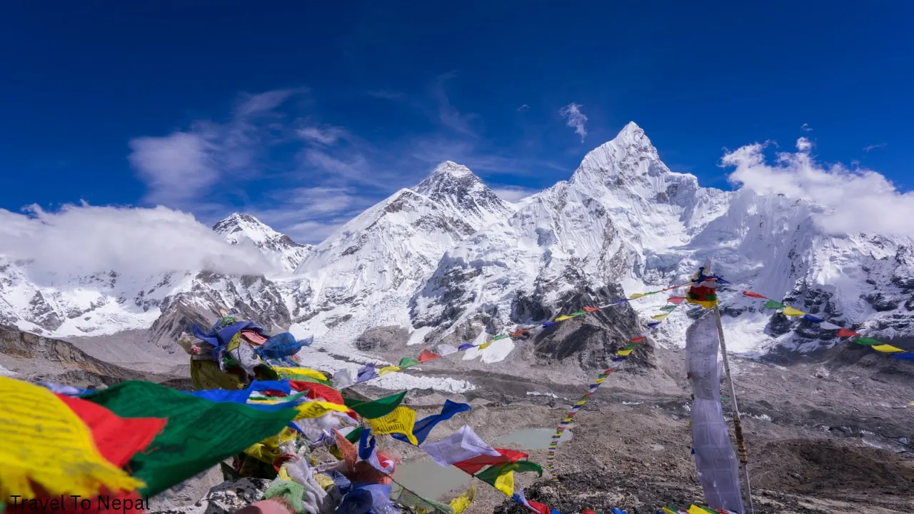
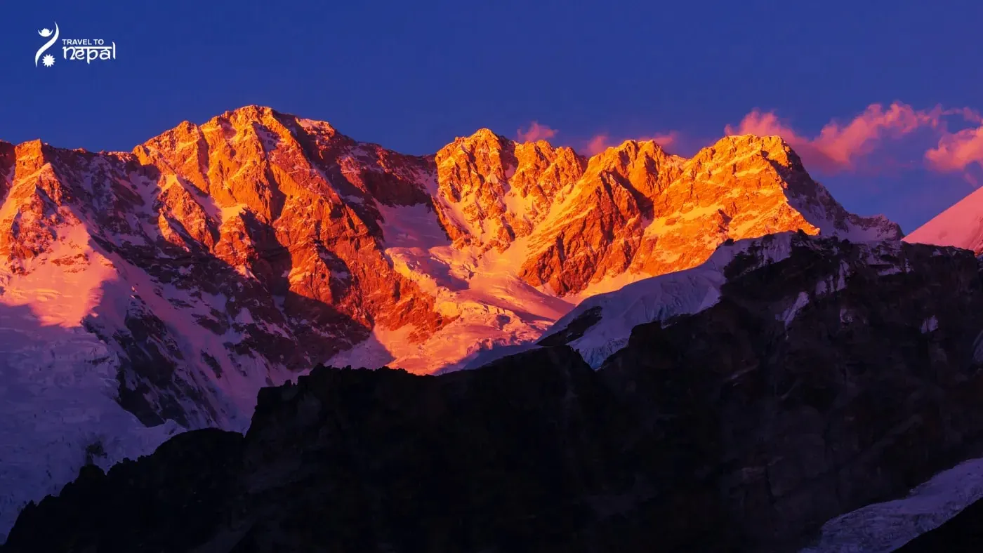
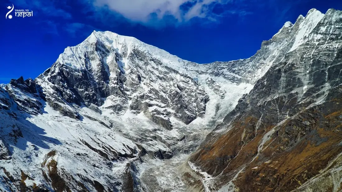
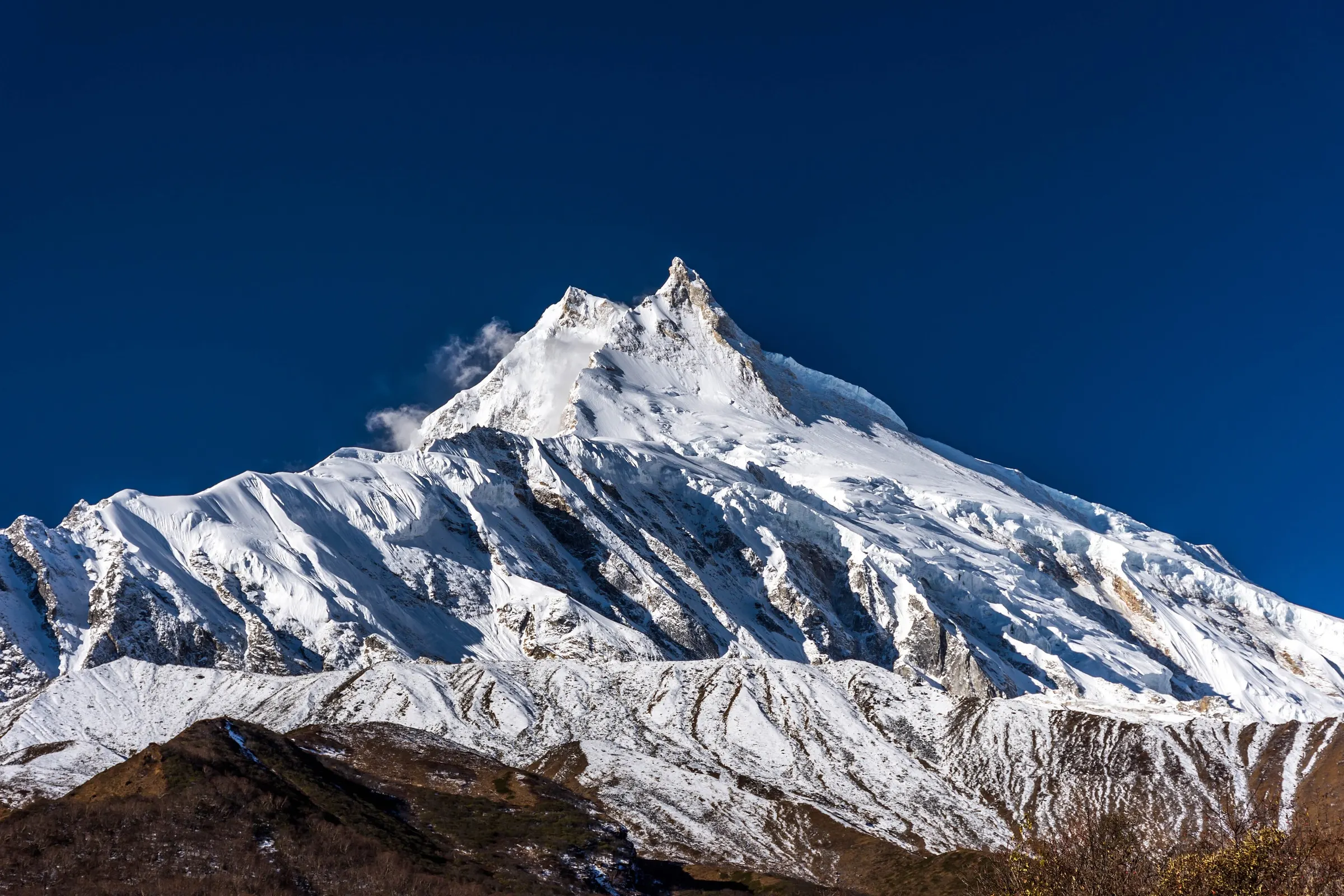
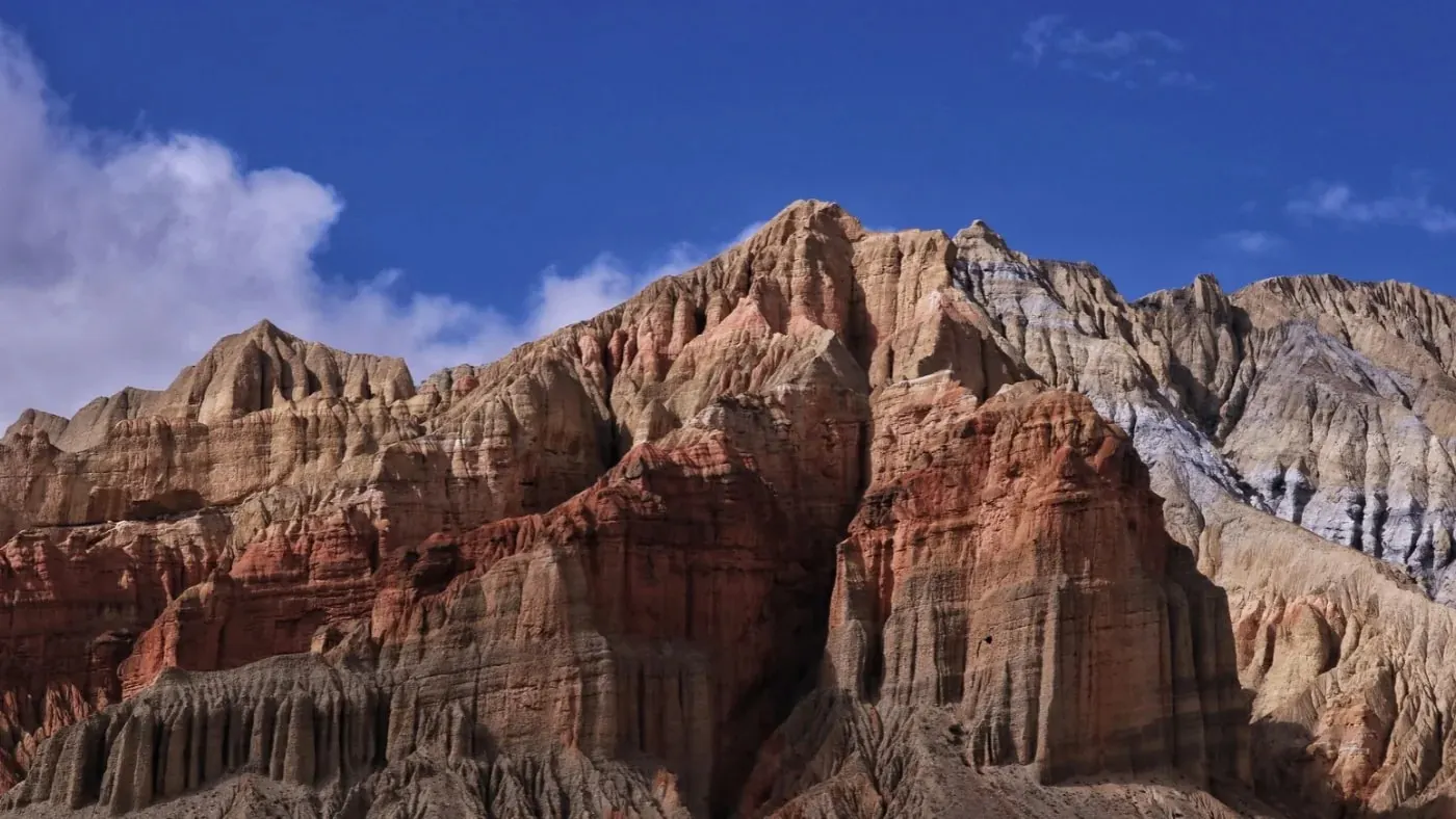
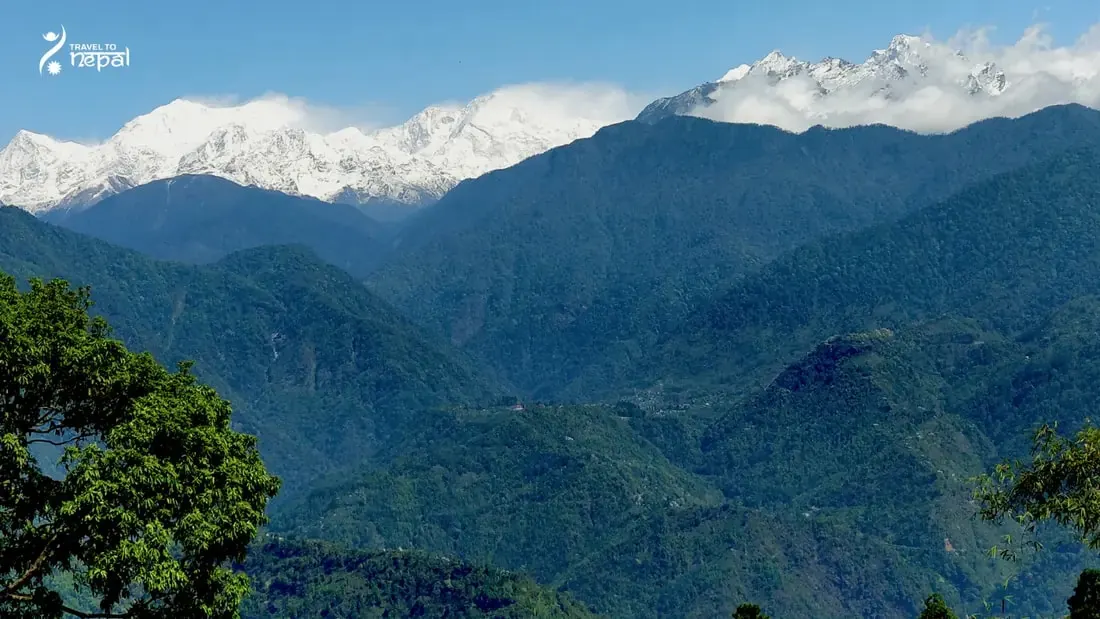
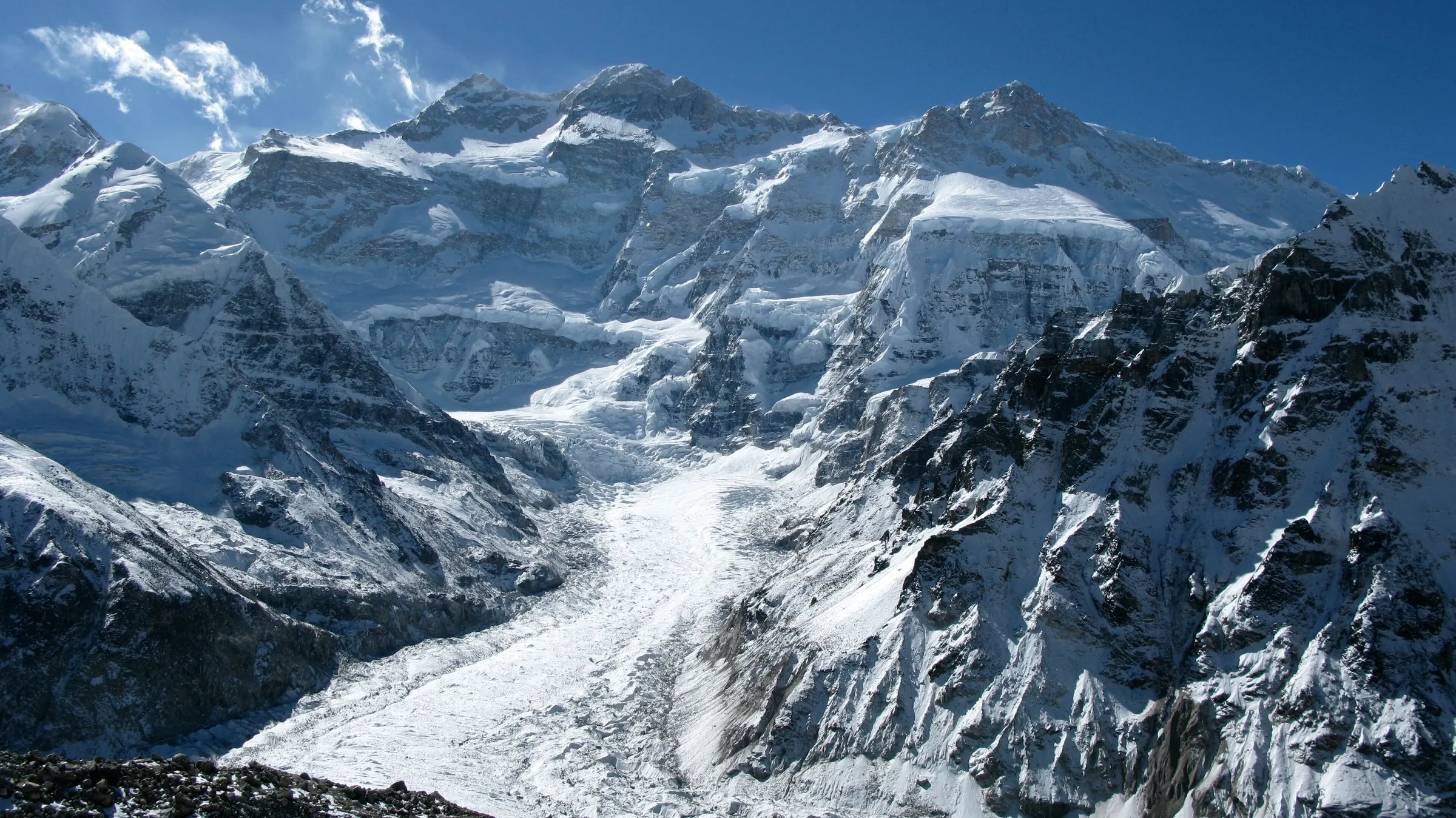
The Kanchenjunga region is the far north-east corner of Nepal, around Kangchenjunga (8,586 m), the third highest mountain in the world. It lies in Taplejung district, Koshi Province, where Nepal meets Sikkim (India) to the east and Tibet to the north. Its name comes from Tibetan words often translated as "five treasures of the great snow", after the mountain's five summits.
Kanchenjunga Conservation Area
Almost all of the region is protected by the Kanchenjunga Conservation Area. Declared in 1997, it covers 2,035 km² and climbs from about 1,200 m to the top of Kangchenjunga. In 2006 the government handed its management to a council of local people, the Kanchenjunga Conservation Area Management Council, so communities now run the area themselves.
Image: Kanchenjunga Conservation Area
The land rises from subtropical farms to rhododendron, larch and fir forest, then alpine meadows, glaciers and ice. The area records 252 bird species, 22 mammal species and about 2,500 flowering plants. Snow leopard, red panda, musk deer, blue sheep, Himalayan black bear and the Danphe live here, and rhododendron forest turns the lower valleys red each spring.
The North Side: Tamor and Ghunsa Valleys
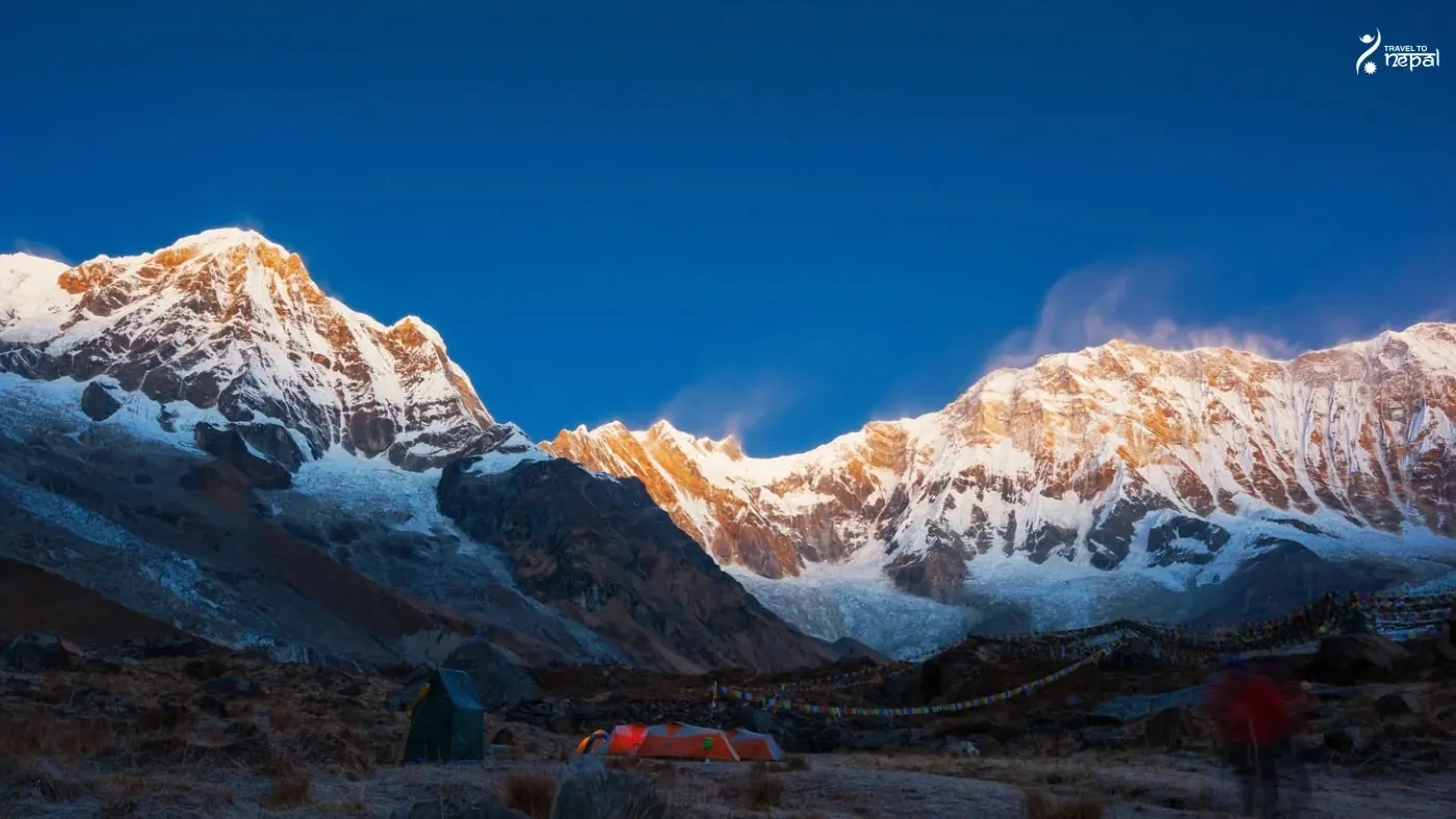
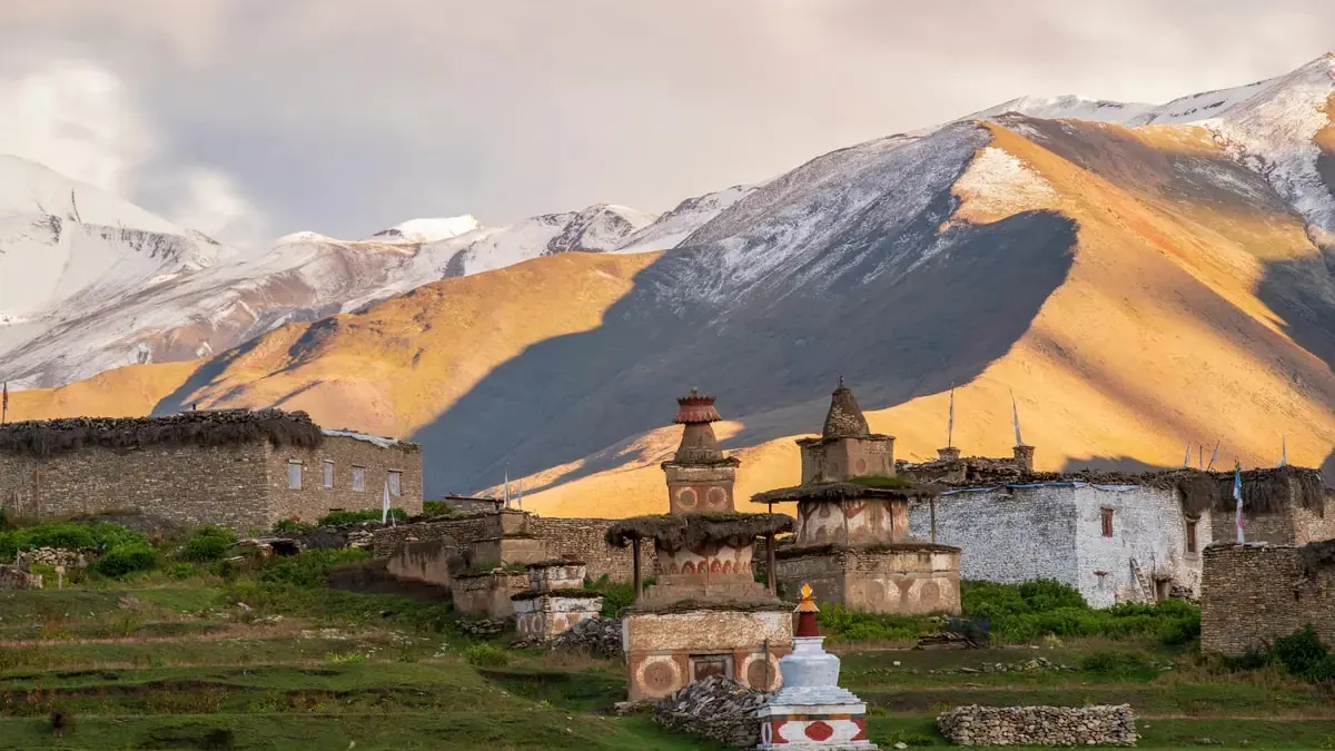
The north side follows the Tamor river and then the Ghunsa Khola up toward the Tibet border. Sherpa and Bhote villages such as Phale and Ghunsa (about 3,600 m) have stone houses, prayer flags and Tibetan Buddhist monasteries. Above Ghunsa, Kambachen and Lhonak lead to Pangpema (5,143 m), where Kangchenjunga's north face rises above the Kanchenjunga Glacier.
The South Side: Yalung Glacier and Oktang
The south side climbs from Yamphudin through forest over Lamite Bhanjyang to Tseram and Ramche. Oktang (4,730 m) looks over the Yalung Glacier at Kangchenjunga's south face, with Kabru and Rathong close by. The Sele La passes, at about 4,650 to 4,700 m, link the two sides.
Olangchung Gola and the Tibet Border
Olangchung Gola is an old trading village of the Walung people in the upper Tamor valley, close to the Tibet border. For centuries traders crossed from here into Tibet with salt, wool and grain. Its stone houses and old monastery keep that history, and it lies inside the restricted area.
Limbu, Rai, Sherpa and Bhote People
About 5,000 people live inside the conservation area. Limbu (Kirat) and Rai families farm the lower hills and follow their own Kirat traditions, while Sherpa and Bhote people live higher up and follow Tibetan Buddhism. Pathibhara temple near Taplejung, holy to Hindus and Kirat people, draws pilgrims from across eastern Nepal.
Treks, Access and Permits
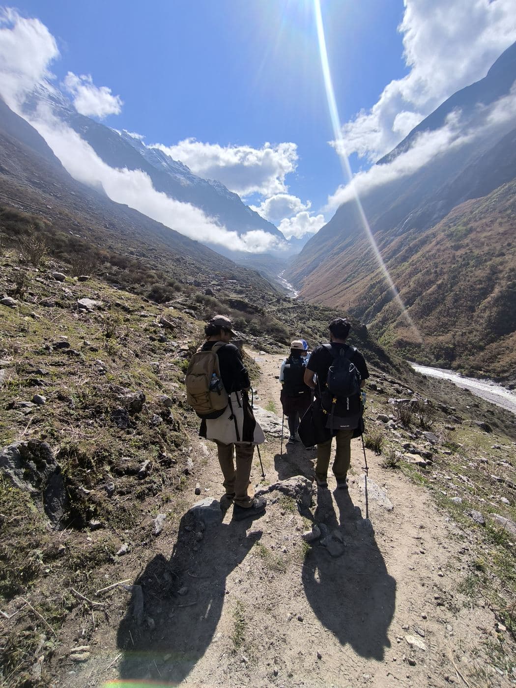
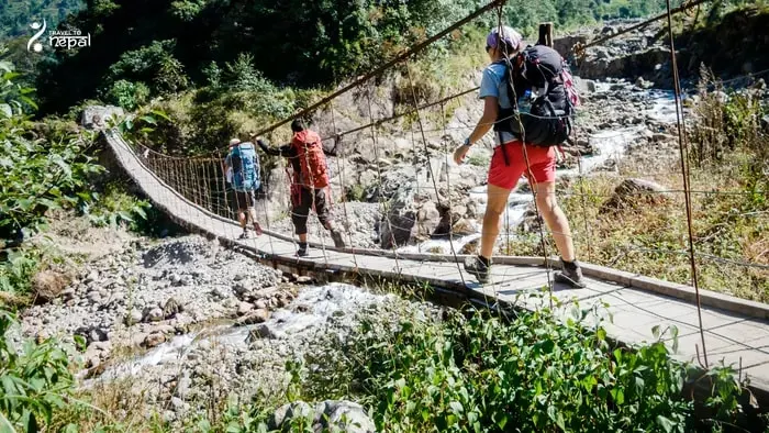
Trekking is the main way to see the region, mostly in basic teahouses. The South Base Camp trek takes about 13 days, the North Base Camp trek about 16 days and the full Circuit about 27 days. You fly Kathmandu to Bhadrapur and drive 7 to 9 hours to Taplejung; Suketar flights resumed on 28 September 2026 but are irregular. The region is a restricted area, so you need a permit through a registered agency and a licensed guide.
Image: Kanchenjunga region trek
The Kanchenjunga region suits experienced travellers who want quiet trails, two faces of one giant mountain and real village life in Nepal's far east. Few foreigners come here, so you may walk for hours without meeting another group.
Best for:
Remote trails
Culture
Mountain wilderness
Two faces of Kangchenjunga
See the north face from Pangpema and the south face from Oktang, two glacier valleys apart.
Limbu, Sherpa and Walung villages
Kirat Limbu farms, Sherpa Ghunsa and the old Tibet trading village of Olangchung Gola.
Community-run conservation area
Since 2006 a council of local people has managed the Kanchenjunga Conservation Area.
Quiet, uncrowded trails
Few foreigners reach far eastern Nepal, so trails and lodges stay calm even in October.
Treks
Trek in Kanchenjunga Region
Remote wilderness
Our Kanchenjunga trek
Kanchenjunga Base Camp Trek
22 days
Strenuous
Max 5,143 m
Private group
To Pangpema below Kanchenjunga's north face (5,143 m), across the Sele La to the South Base Camp, and back through Limbu villages. Permits and guide included.
March to May is a good season. Rhododendron forests flower in the lower valleys, days are warmer, and the Sele La passes are usually open. Haze can build in May, so mountain views are clearest early in the morning.
Not ideal
Monsoon · Jun–Aug
June to August is not recommended. Heavy rain causes landslides on the roads beyond Taplejung, leeches fill the lower forest and clouds hide the mountains. Suketar flights are often suspended.
Best
Autumn · Sep–Nov
October and November give the clearest skies and most stable weather, so they are the best months. September is possible but still wet at the start. Lodges at Lhonak and Pangpema can fill in October.
Not ideal
Winter · Dec–Feb
Early December is still possible, with clear skies and very cold nights, if you finish the high sections in the first week or two. From mid-December to February the high valleys are not recommended: snow can close the Sele La passes, and the Sele Le, Ramche and Pangpema lodges shut. The lower Limbu villages stay open but are cold at night.
Getting there, the north and south base camps, permits and seasons for Nepal's wildest trek.
Read the guide
Questions
Kanchenjunga Region questions, answered
Where is the Kanchenjunga region?
The Kanchenjunga region is in Taplejung district, in the far north-east of Nepal. It borders Sikkim (India) to the east and Tibet to the north. Kangchenjunga itself stands on the Nepal–Sikkim border.
What is the Kanchenjunga Conservation Area?
The Kanchenjunga Conservation Area is the protected area that covers most of the region. It was declared in 1997, covers 2,035 km² and climbs from about 1,200 m to 8,586 m. Since 2006 a local council has managed it, making it a community-run conservation area.
How high is Kangchenjunga?
Kangchenjunga is 8,586 m high, the third highest mountain in the world after Everest and K2. It has five main summits, which gives it its name. It was first climbed in 1955 by a British team that stopped just short of the top out of respect for local beliefs.
What are the main parts of the Kanchenjunga region?
The region has two main valley systems. The north side follows the Tamor and Ghunsa rivers to Ghunsa and Pangpema, while the south side climbs to Tseram, Ramche and the Yalung Glacier. The Sele La passes link them, and Olangchung Gola sits in the upper Tamor valley near Tibet.
Who lives in the Kanchenjunga region?
About 5,000 people live inside the conservation area. Limbu and Rai families farm the lower hills, while Sherpa and Bhote people live in high villages such as Phale and Ghunsa. The Walung people of Olangchung Gola were long-distance traders with Tibet.
What is Kirat culture?
Kirat culture is the traditional belief system of the Limbu and Rai people of eastern Nepal. It centres on nature, ancestors and a sacred oral text called the Mundhum. You see it in Limbu villages in the lower Kanchenjunga region and at Pathibhara temple near Taplejung.
What wildlife lives in the Kanchenjunga region?
The conservation area records 252 bird species, 22 mammal species and about 2,500 flowering plants. Snow leopard, red panda, musk deer, blue sheep and Himalayan black bear live here. Blue sheep are often seen above Ghunsa, while snow leopards and red pandas are rarely seen.
What is Olangchung Gola?
Olangchung Gola is a historic trading village of the Walung people in the upper Tamor valley, near the Tibet border. For centuries its traders carried salt, wool and grain across the passes. It lies inside the restricted area and is visited on longer Kanchenjunga routes.
What permits do I need to visit the Kanchenjunga region?
You need the Kanchenjunga Restricted Area Permit and the Kanchenjunga Conservation Area Permit (KCAP).
Can I visit the Kanchenjunga region without a guide?
No. The region is a restricted area, so you need a registered agency and a licensed guide. You can arrange permit and a government certified experienced guide for you.
How do I get to the Kanchenjunga region?
Fly from Kathmandu to Bhadrapur (about 45 minutes) and drive 7 to 9 hours to Taplejung. From there, jeeps reach Sekathum for the north side or Yamphudin for the south side. Kathmandu to Suketar flights save the long drive, but they run irregularly.
When is the best time to visit the Kanchenjunga region?
October and November are the best months, followed by March to May. Autumn gives the clearest views, while spring brings rhododendron flowers in the lower forest. Early December is still possible, but from mid-December winter snow closes the high passes and the monsoon brings landslides from June to August.
What are the main treks in the Kanchenjunga region?
There are three main treks. The South Base Camp trek (about 13 days) reaches Oktang, the North Base Camp trek (about 16 days) reaches Pangpema, and the Circuit (about 27 days) joins both over the Sele La passes. Basic teahouses now cover most of each route.
What facilities are there in the Kanchenjunga region?
Facilities are basic. Taplejung has the last ATM and reliable shops, and Nepal Telecom data works at Taplejung, Sekathum and patchily at Ghunsa. Above Ghunsa and on the upper south side there is usually no signal, and lodges have little charging.
How is the Kanchenjunga region different from Everest?
Kanchenjunga is quieter, more remote and more basic than the Everest region. Everest has a short flight to Lukla, busy trails and comfortable lodges, while Kanchenjunga needs a long journey east and a restricted permit. In return, you see one of the world's highest mountains with very few other visitors.